Explore Europe and France's Best Destinations!
Bike and Boat
Hiking
Cycling Tours
Guided Hiking Trips
Tour du Mont Blanc - Guided 10-Day
- Departure date
- Next guaranteed departure on 05/07/2026
- Level
-
- Comfort
- Travel from
- 10 days
From €3,795.00
-
(28 reviews)
Dolomites of Cortina Guided
- Departure date
- Next guaranteed departure on 12/07/2026
- Level
-
- Comfort
- Travel from
- 7 days
From €3,300.00
-
(31 reviews)
Dolomites of Cortina Guided - Women Only Travel
- Departure date
- Next guaranteed departure on 28/06/2026
- Level
-
- Comfort
- Travel from
- 7 days
From €3,300.00
-
(9 reviews)
Self-Guided Hiking Trips
Tour du Mont Blanc - Classic 8-Day
- Level
-
- Comfort
- Travel from
- 8 days
From €1,700.00
-
(16 reviews)
Tour of the Aravis to Lake Annecy
- Level
-
- Comfort
- Travel from
- 7 days
From €1,085.00
-
(14 reviews)
Dolomites of Cortina Explorer - via Pocol & Misurina
- Level
-
- Comfort
- Travel from
- 7 days
From €1,220.00
-
(10 reviews)
Munich to Venice: A journey Across the Alps
- Level
-
- Comfort
- Travel from
- 15 days
From €2,920.00
-
(18 reviews)
Haute Route West, Arolla to Zermatt
- Level
-
- Comfort
- Travel from
- 8 days
From €1,775.00
Dolomites Grand Traverse, from Bolzano to Cortina
- Level
-
- Comfort
- Travel from
- 10 days
From €1,130.00
With friends, family or for any private group, contact us
Tailor-made Custom Trips
Self-Guided Cycling Tours
Lake Constance and Rhine Falls by Bike
- Level
-
- Comfort
- Travel from
- 8 days
From €1,000.00
Loire Valley by Bike, from Blois to Angers
- Level
-
- Comfort
- Travel from
- 8 days
From €795.00
Tuscany by Bike: Florence, the Chianti region, Siena and Pisa
- Level
-
- Comfort
- Travel from
- 8 days
From €1,380.00
Danube River by Bike, from Passau to Vienna
- Level
-
- Comfort
- Travel from
- 8 days
From €700.00
Southern Burgundy by Bike - Grands crus and Romanesque art
- Level
-
- Comfort
- Travel from
- 6 days
From €695.00
Garonne Canal by Bike, from Bordeaux to Toulouse
- Level
-
- Comfort
- Travel from
- 7 days
From €785.00
The Mag - Adventure stories, tips and tricks
Dolomites: the incredible story of these 3 giants that rose from the sea!
In the heart of the eastern Dolomites, three stone giants rise majestically toward the sky, sculpted over millennia and bearing witness to a geological story more than 200 million years old. The Tre Cime di Lavaredo, or Drei Zinnen in German, embody the very essence of the Alpine mountains: dolomitic towers with vertiginous walls that capture the traveler’s soul and fuel the imagination of generations of hikers and climbers.
These three limestone peaks, reaching elevations between 2,857 and 2,999 meters, offer far more than a simple panorama. They tell the epic tale of ancient tropical coral reefs transformed by tectonic forces, shelter remarkable Alpine biodiversity, and have remained a privileged stage for human adventure for a century and a half.
Want to discover the iconic hike? Head straight to the classic loop to admire the three peaks from every angle, or to the practical information section to learn more about the toll road and parking. Otherwise, let yourself be guided through this in-depth exploration that goes far beyond a simple scenic discovery:
- Geological architecture
- A rocky triumvirate with many faces
- A natural sanctuary: wildlife and flora of the heights
- Off the beaten track: discovering the Tre Cime step by step
- Alpine memory: the legacy of the first conquerors
- Practical immersion: planning your discovery of the Tre Cime
Geological architecture
To understand the majesty of the Tre Cime di Lavaredo, we must go back to the Triassic period, around 250 million years ago. At that time, the present-day Dolomites were covered by a vast tropical sea where towering coral reefs thrived, formed by marine organisms and sediment deposits. This primitive sea saw the development of atolls and volcanoes, creating ideal conditions for the accumulation of carbonate materials.
The three towers we admire today are made of well-stratified dolomite belonging to the Dolomia Principale (Hauptdolomit) formation, dating from the Carnian to the Rhaetian. This carbonate sedimentary rock, composed of at least 50% dolomite—a double calcium and magnesium carbonate with the formula CaMg(CO₃)₂—gives the Tre Cime their characteristic color and resistance to erosion.
The transformation of these marine reefs into mountains resulted from the collision between the African and European continental plates. Under this titanic pressure, enormous rock masses were stacked and folded, gradually lifting these former seabeds toward the sky. Erosional processes then sculpted the present landscape, with different rock layers wearing away at varying speeds, creating the characteristic alternation between sheer walls and lush alpine meadows.
This exceptional geological history earned the Dolomites UNESCO World Heritage status in 2009. They represent one of the best-preserved examples of Mesozoic carbonate platform systems, with remarkable fossil records. In the rocks of the Tre Cime, you can still observe fossilized inhabitants of that primitive sea—petrified traces of tropical marine life that has long since disappeared.
A rocky triumvirate with many faces
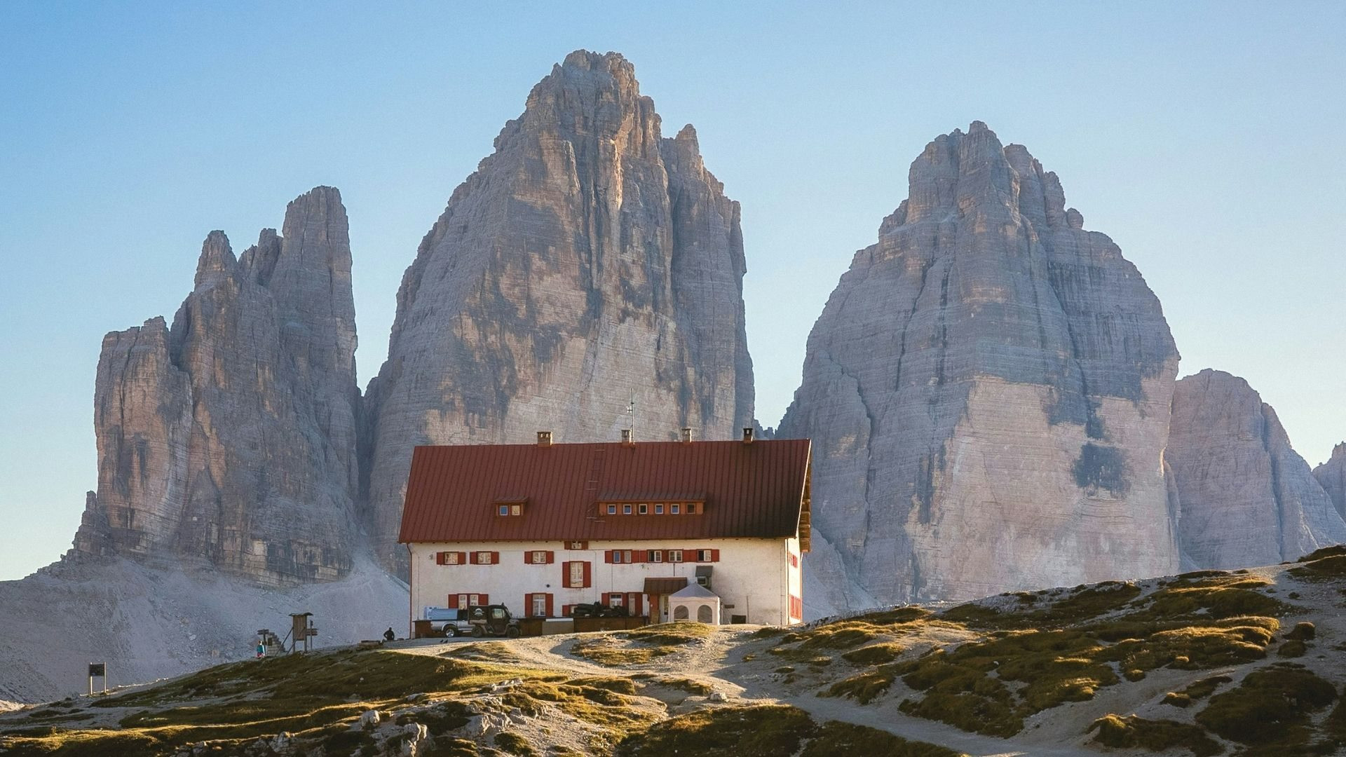
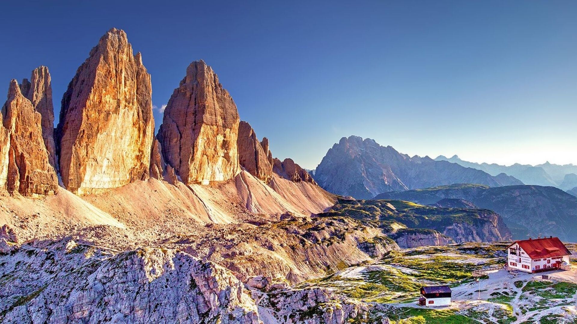
The Tre Cime di Lavaredo massif is made up of three distinct peaks, each displaying its own geomorphological personality. From east to west, these giants are named Cima Piccola (Kleine Zinne, 2,857 m), Cima Grande (Große Zinne, 2,999 m), and Cima Ovest (Westliche Zinne, 2,973 m).
Cima Grande, the highest of the trio, has drawn particular attention from climbers since the historic first ascent by Paul Grohmann on August 21, 1869. Its vertical faces—especially the formidable north wall rising more than 600 meters—provide an exceptional playground for high-level climbing. This north face, first climbed by Emilio Comici in 1933, remains one of the legendary routes of Dolomite mountaineering.
The Tre Cime stand on the southern edge of the vast Zinnen Plateau, an Alpine platform located between 2,200 and 2,400 meters in altitude marking the end of the Rienza Valley. This remarkable geographic position places the three towers on the border between South Tyrol and Veneto, still marking the linguistic boundary between German- and Italian-speaking areas.
North of the peaks lie the small Tre Cime mountain lakes (Zinnenseen), aquatic jewels nestled in this lunar-like setting. This area, part of the Tre Cime Nature Park (formerly the Sexten Dolomites Nature Park), has benefited from strict environmental protection since its UNESCO listing.
Light phenomena: the alpenglow of the dolomitic giants
The Tre Cime offer one of the most striking spectacles in the Alps: alpenglow, the luminous phenomenon that sets limestone walls ablaze in the first and last light of day. The particular mineral composition of dolomite, enriched with iron oxides, gives these rocks their ability to reflect pink and golden hues at sunrise and sunset.
This natural display, especially intense in winter when crystal-clear air amplifies light contrasts, transforms the three towers into true mineral beacons overlooking the Sexten Valley. Photographers and mountain lovers from around the world come to capture these magical moments when the stone seems to glow from within.
A natural sanctuary: wildlife and flora around the Tre Cime
The Tre Cime di Lavaredo ecosystem hosts remarkable biological diversity, adapted to the harsh conditions of the high Dolomite mountains. This ecological richness stems from the variety of environments present: vertical cliffs, scree slopes, alpine meadows, subalpine forests, and wetland areas around high-altitude lakes.
Exceptional Alpine flora
The Tre Cime region contains around 1,400 different plant species, some endemic to the Dolomites. This floral diversity is organized into distinct vegetation zones, each adapted to specific microclimatic conditions at altitude.
In the lower zones surrounding the valleys, mixed deciduous forests dominate, gradually giving way with elevation to conifers and beech stands. Spruce, silver fir, and Swiss pine form most of the forest cover up to the tree line, around 2,000 meters in altitude.
Above this begins the realm of alpine meadows, a true natural botanical garden where the most emblematic species of the eastern Alps flourish. Edelweiss (Leontopodium alpinum), the ultimate symbol of Alpine flora, grows alongside purple gentian (Gentiana purpurea), dwarf rhododendrons, and numerous endemic species such as Moretti’s bellflower and the Tyrolean primrose.
The cracks in the rock faces shelter highly specialized plant communities, including several species found only in the Dolomites, such as Draba dolomitica and the Dolomite houseleek (Sempervivum dolomiticum). These rock-dwelling plants have developed remarkable adaptations to survive in such extreme environments: powerful root systems, succulent leaves, and protective cushion-like growth forms.
Wildlife of the heights: masters of peaks and valleys
The wildlife of the Tre Cime di Lavaredo perfectly illustrates how animals adapt to high Alpine mountain conditions. Among the 115 breeding bird species recorded in the nature park, several are true emblems of these Dolomitic heights.
The golden eagle (Aquila chrysaetos) reigns supreme over these aerial territories, soaring majestically above the three towers to hunt marmots and young chamois. The rock ptarmigan (Lagopus muta), perfectly camouflaged in its seasonal plumage, inhabits rocky high-altitude areas, while the western capercaillie (Tetrao urogallus) animates the subalpine forests with its spectacular mating displays.
Among nocturnal raptors, the region hosts rare species such as the Eurasian pygmy owl (Glaucidium passerinum) and the boreal owl, perfectly adapted to coniferous forest environments.
Large mammals find ideal living conditions in this territory. The chamois (Rupicapra rupicapra), with more than 3,000 individuals in the park, dominates steep slopes where its legendary agility allows it to move across the most vertiginous rock faces. The roe deer (Capreolus capreolus), present in populations exceeding 2,000 individuals, prefers forest edges and high-altitude clearings.
The recent return of large carnivores marks a positive evolution of the Dolomite ecosystem. The brown bear (Ursus arctos) and the Eurasian lynx (Lynx lynx) have occasionally been observed in the region, indicating improved environmental quality. More discreet but present, the wolf (Canis lupus) is gradually recolonizing its former Alpine territories.
Off the beaten track: discovering the Tre Cime step by step
Exploring the Tre Cime di Lavaredo offers a remarkable range of routes suited to all skill levels, from occasional hikers to experienced mountaineers. These historic paths, traced by generations of mountain people, reveal the many facets of this Dolomite sanctuary.
The classic loop: a contemplative tour of the three giants
The iconic Tre Cime route consists of a 10.8-kilometer loop starting from the Rifugio Auronzo parking area (2,333 m). This moderately difficult hike, accessible to most people, allows you to discover the three towers from every angle in a full day of Alpine immersion.
The route begins with a gradual ascent toward Forcella Lavaredo (2,454 m), a strategic pass offering the first panoramic view of the north faces of the Tre Cime. This viewpoint reveals the classic alignment of the three peaks, immortalized by thousands of photographers for over a century.
The hike continues toward Rifugio Locatelli (2,405 m), also known as Dreizinnenhütte, the main contemplative highlight of the walk. From this natural balcony, hikers discover the imposing north faces in all their verticality, gaining a deeper understanding of the attraction these walls hold for climbers from around the world.
The return follows the Piani Lakes, small high-altitude mirrors set within a lunar landscape, before reaching Malga Langalm and Col Forcellina. This final section crosses stunning alpine meadows dotted with karst formations characteristic of Dolomite terrain.
The hike involves a 370-meter elevation gain and takes an average of 4 hours, including essential contemplation breaks in front of such scenery. The quality of the trail, wide and well maintained, allows for easy progress even for less experienced hikers.
Exploration variants: extending the adventure
For walkers eager to go further, several thematic extensions enrich the Tre Cime experience. Access to Monte Paterno (2,744 m) via the Innerkofler via ferrata offers a spectacular vertical dimension, revealing new panoramas over the entire Dolomite massif.
More adventurous hikers can include the Munich–Venice crossing, a legendary long-distance hiking route that places the Tre Cime within the grand perspective of a two-week transalpine journey, or our iconic Dolomites crossing from Verona to Venice in 10 days along lesser-known trails.
The approach from Lago d’Antorno (1,866 m) is an interesting alternative for purists wishing to avoid the toll road while gradually immersing themselves in the mountain atmosphere. This variant adds 7 kilometers and 612 meters of elevation gain, turning the outing into a more committed Alpine hike.
Alpine memory: the legacy of the first conquerors
The history of the Tre Cime di Lavaredo is intertwined with the birth of mountaineering in the Dolomites. These three towers form an exceptional laboratory for the evolution of climbing techniques, from the first ascents of the 19th century to modern free-climbing feats.
Paul Grohmann: pioneer of the Dolomite peaks
The conquest of the Tre Cime truly began on August 21, 1869, with Paul Grohmann, an Austrian mountaineer considered the main explorer of the Dolomites. Accompanied by his guides Franz Innerkofler and Peter Salcher, this tireless pioneer achieved the first ascent of Cima Grande via the normal route on the south face.
Born in Vienna in 1838, Grohmann discovered the mountains fifteen years earlier in the Hohe and Niedere Tauern ranges. From those summits, he first glimpsed the Dolomites to the south, where only a few peaks had been climbed by John Ball. Between 1863 and 1869, he ascended all the major peaks of the Dolomites, effectively opening these mountains to modern mountaineering.
His ascent of Cima Grande marked a historic turning point, transforming these mysterious towers into coveted Alpine objectives. Grohmann carefully documented his explorations, leaving behind invaluable descriptions of these then-untouched territories.
Technical evolution: 150 years of vertical history
Cima Grande perfectly illustrates the evolution of mountaineering over a century and a half. After Grohmann’s pioneering ascent via the south face, successive generations of climbers pushed the limits of what was possible on these legendary walls.
In 1913, Hans Dülfer, considered “the best climber before the First World War”, opened a route on the west face, introducing revolutionary free-climbing techniques for the time. This ascent marked the emergence of a more athletic style of mountaineering, where pure technique gradually replaced artificial progression.
The year 1933 marked a major milestone with the north face ascent by Emilio Comici and the brothers Angelo and Giuseppe Dimai. This spectacular achievement, on one of the most impressive walls in the Alps, firmly established the Tre Cime as a must-visit site in world mountaineering.
The following decades saw a succession of feats: the Directissima by Lothar Brandler and Dietrich Hasse in 1958, using extensive aid climbing to overcome overhangs, followed by the evolution toward modern free climbing, culminating in Alex Huber’s free solo ascent in 2002.
This progression reflects the overall evolution of mountaineering—from hesitant early steps to contemporary athletic performances—making the Tre Cime a true “mirror of the evolution of alpinism”, in the words of Reinhold Messner.
Practical immersion: planning your discovery of the Tre Cime
Visiting the Tre Cime di Lavaredo requires careful preparation, as these iconic peaks attract significant numbers of visitors, especially during the summer season. Thoughtful planning ensures the best possible experience of this Dolomite jewel.
Access and parking: navigating constraints and solutions
Access to the Tre Cime is mainly via the toll road starting from Lake Misurina and leading to Rifugio Auronzo. This scenic road, open from late May to late October, now requires mandatory booking via the portal pass.auronzo.info.
The fee of €40 for 12 hours (cars) may seem high, but this measure aims to regulate visitor numbers and preserve the fragile high-altitude environment. Motorcyclists pay €26, while motorhomes are charged €60 for the same duration.
Several budget-friendly alternatives are worth considering. The free parking at Lago d’Antorno allows you to avoid the toll, at the cost of an additional 7 kilometers of hiking and 612 meters of elevation gain. This option appeals to purists seeking a more authentic approach.
The shuttle service is an eco-friendly alternative, connecting Dobbiaco to Rifugio Auronzo from late May to early October. This option allows you to enjoy the scenery without parking constraints while contributing to site preservation.
Timing your visit: escaping the crowds
The popularity of the Tre Cime leads to heavy visitor numbers in summer, especially between 9 a.m. and 4 p.m. Savvy hikers opt for an early start (before 7 a.m.) or a late one (after 3 p.m.) to fully enjoy the serenity of the area.
The months of September and October offer ideal conditions: generally stable weather, fewer crowds, and autumn colors enhancing the Dolomite landscapes. Late May and June are also favorable, with the added bonus of alpine flowers blooming in the high meadows.
Winter transforms the Tre Cime experience entirely. With the toll road closed, access is by snowshoes or ski touring from Misurina, adding an adventurous dimension to discovering these snow-covered giants.
Equipment and safety: preparing for mountain whims
The high altitude (exceeding 2,400 meters) and exposure to the elements require proper equipment even for the classic hike. Sturdy hiking boots, wind- and rain-protective clothing, sunscreen, and sunglasses are the bare minimum.
Alpine weather can change rapidly at altitude. It is not uncommon to experience sun, clouds, rain, and hail in a single outing. Carrying an extra layer and waterproof protection always proves worthwhile.
Hydration and nutrition require special attention. Although Rifugio Locatelli offers food during the season, being self-sufficient ensures valuable independence. Physical effort at altitude increases hydration needs: plan for at least 1.5 liters of water per person.
With Grand Angle: extending the Dolomite adventure
The Tre Cime di Lavaredo are an ideal base for discovering the wider Dolomite heritage. Grand Angle offers several thematic extensions to deepen this Alpine immersion.
The great Dolomites crossing from Verona to Venice places the Tre Cime within the grand perspective of a 10-day circuit exploring the most beautiful massifs of this UNESCO region. This comprehensive approach reveals the geomorphological and cultural diversity of the Dolomites.
For cycling enthusiasts, the Munich–Venice bike crossing includes a passage near the Tre Cime in a transcontinental route blending Bavarian culture, Alpine landscapes, and Venetian art. This format appeals to travelers seeking to combine physical effort with cultural discovery.
The most beautiful refuges in the Dolomites are a theme particularly suited to lovers of traditional Alpine architecture and mountain gastronomy. This option allows you to experience Dolomite lifestyle in its most authentic form.
The Tre Cime di Lavaredo go beyond mere geological curiosity to embody the very essence of the Alpine experience. These three Dolomitic sentinels, forged by millennia of natural history and shaped by a century and a half of human adventure, offer today’s traveler a total immersion in mountain grandeur.
From their vertical walls—remnants of ancient tropical reefs—emanates a mineral power that stirs the soul and inspires contemplation. Their high-altitude ecosystems host remarkable biodiversity, reminding us that the mountains remain a living sanctuary where each species finds its place in the fragile balance of the heights.
Beyond the natural spectacle, the Tre Cime tell the story of modern mountaineering, from the first steps of Paul Grohmann to contemporary achievements. They perpetuate this tradition of exploration and self-transcendence that defines the spirit of the Alps.
For today’s hiker, whether novice or experienced, these Dolomitic giants offer a complete experience: measured physical effort, breathtaking scenic immersion, and deep cultural enrichment. It is this promise of accessible and authentic adventure that Grand Angle has cultivated for over 40 years, guiding you in discovering the most secret and spectacular Dolomites.
Join us to experience this unique adventure in the heart of the Tre Cime di Lavaredo, where every step reveals a new face of these stone cathedrals and every gaze reaches toward the infinite horizon of Dolomite peaks. Contact our experts at +33 (0)4 76 95 23 09 to build your tailor-made adventure together in this mineral sanctuary of the eastern Alps.
Psiloritis: hiking on the roof of Crete, where Zeus was born
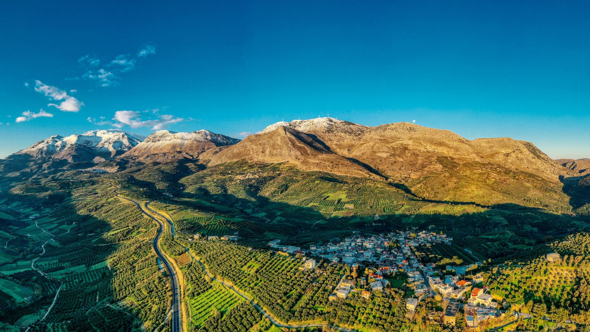
In the heart of Crete stands a majestic mountain that has captivated attention and fueled the imagination since ancient times: Mount Psiloritis.
At 2,456 meters elevation, this imposing massif is the highest point on the island, dominating the plains of Messara and Heraklion with its steep slopes.
Known to the Ancients as Mount Ida, this limestone giant witnessed the birth of myths and shaped Mediterranean landscapes over millions of years.
Designated as a UNESCO Global Geopark since 2015, Psiloritis combines remarkable geological heritage, unique biodiversity, and centuries-old pastoral traditions.
For hikers seeking authenticity, this sacred mountain offers much more than a simple athletic challenge: it's a dive into the geological history of the Mediterranean and the deep soul of Crete.
- Geography and geology of the massif
- Between myth and history
- A biodiversity sanctuary
- Hiking trails
- Cultural heritage and traditions
- Practical information
Mount Psiloritis: Geography and geology of the massif
Mount Psiloritis occupies a central position on the island of Crete, straddling the prefectures of Heraklion and Rethymno. Its summit, peaking at 2,456 meters, bears the name Timios Stavros (the Holy Cross) where a small white chapel stands, visible in clear weather from the north and south coasts of the island.
A fascinating geological history
The massif formed millions of years ago when the African tectonic plate began pushing under the European plate, forcing the relief to emerge from the sea. This titanic collision created the imposing limestone formations that characterize today's landscape. Rock outcrops reveal complex stratigraphy, with layers of limestone, folded marble, and even remnants of the ancient Tethys Ocean in the form of ophiolites.
The region displays spectacular karst phenomena: sinkholes, deep caves, narrow gorges, and abundant springs. These formations testify to millennia of water's work on limestone, creating a complex underground network that feeds numerous springs and makes Psiloritis a natural water tower for central Crete.
Contrasting terrain
The massif consists of several summits exceeding 2,000 meters, including the peak of Agathias at 2,424 meters. The Nida Plateau, in the heart of the massif at an elevation of about 1,400 meters, is the preferred starting point for the ascent. This pastoral plateau offers a lunar landscape dotted with dry-stone constructions called mitata, ancient shepherds' shelters that testify to centuries of transhumance.
Mount Psiloritis between myth and history
The birthplace of Zeus
According to Greek mythology, it was in the Ideon Andron cave, located on the northern slope of Mount Psiloritis, that Zeus was born to Rhea. The goddess had taken refuge there to protect her child from Cronos, his father, who devoured his offspring to avoid being overthrown. Raised by the nymphs Ida and Adrastea, protected by the Curetes whose warrior dances covered his cries, and fed by the goat Amalthea, Zeus grew up in these mountains before overthrowing the Titans and becoming master of Olympus.
This mythical cave, accessible from the Nida Plateau, served as a sanctuary from the 11th to 9th century BCE. Archaeological excavations have revealed countless votive offerings, testifying to the religious importance of the site during antiquity.
A sacred mountain
For the Minoans, Psiloritis was already a sacred mountain, well before classical Greek myths became attached to it. The site of Zominthos, located in the massif's heights, reveals the remains of an important Minoan settlement. These archaeological discoveries confirm that the first Cretan civilizations maintained a deep spiritual connection with this majestic mountain.
A biodiversity sanctuary
A UNESCO Global Geopark
Recognized as a UNESCO Global Geopark in 2015, Psiloritis spans 1,272 square kilometers and represents one of the most remarkable territories in the eastern Mediterranean. This recognition values not only its geological richness but also its extraordinary biodiversity and intangible cultural heritage.
Endemic flora and botanical diversity of Psiloritis
The massif hosts remarkable biodiversity with over 1,700 plant species, of which 10% are endemic. Among the massif's botanical treasures is the famous Cretan dittany, an aromatic plant used since antiquity for its medicinal properties. Notable endemic species include the Cretan zelkova, Cretan arum, Cretan cyclamen, and several rare orchids such as Cephalanthera cucullata.
On the Gious Kambos plateau, whose name means "Plain of Eos" in reference to the goddess of dawn, grows an endemic red tulip classified as a vulnerable species. Rocky gorges shelter fascinating cliff-dwelling species, while forests of cypress, kermes oak, and maple punctuate the slopes up to 1,400 meters elevation.
What wildlife can we encounter on Psiloritis?
The massif provides refuge for remarkable fauna. The kri-kri, Crete's emblematic wild goat, can be observed here, along with numerous raptors including the lammergeier and griffon vulture. The Cretan wildcat, an endemic subspecies, discreetly roams the heights. Birdwatching enthusiasts can observe a wide variety of migratory and nesting birds, while the gorges and caves shelter several protected bat species.
Hiking trails
The classic ascent from Nida Plateau
Several paths provide access to the summit, the three most well-known being the E4-east from Nida Plateau, the E4-west from Fourfouras, and the southern route from Kamares. The most frequented route starts from Nida Plateau, accessible via a winding 22-kilometer road from the village of Anogia.
The ascent represents an elevation gain of approximately 950 meters for a total duration of three to four hours going up. The trail begins with a steep section then follows a ravine westward before reaching a first pass around 1,900 meters. After a slight descent, the path climbs toward Agathias peak before turning west for the final hour of walking to the summit.
From the summit, the view encompasses the entire island. To the north, the Aegean Sea sparkles and, in clear weather, you can even glimpse Santorini on the horizon. To the south, the Libyan Sea stretches to the island of Gavdos, Europe's southernmost point. The Messara plains unfold their fields and greenhouses, while the neighboring massifs of the White Mountains and Dikti trace Crete's mountainous silhouette.
Other discovery routes
Over 20 marked trails allow exploration of the massif's different facets. The gorges of Rouvas, Patsos, and Vorizia offer more accessible hikes in lush environments where perennial springs flow. The Rouvas forest, with its centuries-old cypresses and majestic plane trees, provides an ideal alternative for walkers wishing to discover the massif's plant richness without undertaking the complete ascent.
Cultural heritage and traditions
The mitata, pastoral architecture
On Nida Plateau stand numerous mitata, circular dry-stone constructions topped with domes. These traditional shelters served shepherds during summer transhumance. They housed the men, served for milking sheep and goats, and hosted cheese-making operations. Some of these structures, abandoned around the mid-20th century, are now restored and testify to ancestral architectural know-how perfectly adapted to the mountain environment.
Characteristic villages
Anogia, the main mountain village north of the massif, embodies the rebellious soul of Crete. Known for fiercely resisting successive occupations, this active town perpetuates traditional crafts: weaving carpets and blankets with geometric patterns, wood carving, and making traditional musical instruments. Cretan music, with its characteristic lyra, still resonates during village festivals.
Other villages like Axos, famous for its pottery, or Margarites where ceramics are worked using millennial techniques, allow discovery of living craftsmanship. For those wishing to discover Cretan authenticity beyond the beaten path, our Crete itineraries integrate these cultural encounters.
Practical information for hiking Mount Psiloritis
What is the best time for ascending Mount Psiloritis?
The best period for the ascent extends from June to September, when weather conditions are most stable. High-altitude areas remain snow-covered until late June, and weather can change rapidly even in summer. In spring, the massif adorns itself with spectacular blooms, while autumn offers magnificent light, though the first snow episodes can occur as early as October. For a September trip to Greece, Psiloritis makes an ideal destination with pleasant temperatures and moderate crowds.
Mountain refuges and accommodation
The Timios Stavros mountain refuge (Prinos refuge), located at about 2,000 meters elevation, offers basic accommodation with around twenty places. This unguarded refuge has blankets but no bedding, and hikers must bring their sleeping bags. At Nida Plateau, the Lakkos tou Mygerou refuge serves as a starting point but doesn't offer accommodation. For superior comfort, it's preferable to stay in surrounding villages like Anogia where several guesthouses and rooms welcome hikers.
Trail marking and orientation
Psiloritis is crossed by the European E4 trail that traverses Crete from west to east. The E4 marking, with its characteristic yellow and black marks, guides hikers on main routes. From Nida Plateau, follow the cairns and E4 marking for the classic ascent. However, marking can be irregular in places, particularly in rocky summit areas. A detailed topographic map and GPS are strongly recommended, especially in fog which can quickly reduce visibility.
Mountain guide: recommendations
Ascending Psiloritis doesn't technically require a mountain guide for experienced hikers accustomed to high mountains. However, hiring a local guide is strongly recommended for several reasons: knowledge of changing weather conditions, expertise on the optimal route according to season, sharing information about the massif's geology and biodiversity, and increased safety in case of problems. For less experienced hikers, a guide becomes essential given the significant elevation gain and absence of water points.
What to bring in your backpack and on yourself?
The ascent requires classic hiking equipment: high-top hiking boots with studded soles, layered clothing including protection against wind and cold (even in hot weather below, the summit can be windy and cool), cap, sunglasses, and sunscreen. Plan for at least two liters of water per person and energy food. The rocky terrain and steep slopes make trekking poles valuable, particularly appreciated on the descent.
What is the difficulty of the Psiloritis ascent?
Although technically accessible to any hiker in good physical condition, the Psiloritis ascent should not be taken lightly. The significant elevation gain, altitude, sun exposure, and absence of water on the route make it a demanding hike. Starting at dawn is recommended to avoid extreme heat, and plan for five to six hours for the round trip from Nida Plateau. For families, more accessible alternative routes allow safe discovery of the massif.
How to reach Psiloritis?
From Heraklion or Rethymno, reach the village of Anogia then take the road to Nida Plateau (22 kilometers of winding mountain road). Parking is available at the Lakkos tou Mygerou refuge. For those who prefer discovering Crete without worrying about logistics, our guided trips include transportation and supervision by guides who know the massif perfectly.
Specific regulations for Psiloritis
As a UNESCO Geopark, Psiloritis deserves special respect. Don't pick plants, particularly protected endemic species. Stay on marked trails to limit erosion. Carry out all your waste. Basic refuges don't have proper sanitary facilities, so it's important to scrupulously respect the environment.
Mount Psiloritis embodies by itself the natural and cultural richness of Crete. Its landscapes sculpted by tectonic forces and erosion, its extraordinary UNESCO-recognized biodiversity, its deep connections with Greek mythology, and its living pastoral heritage make it a destination of choice for hikers seeking authenticity. The ascent of this roof of Crete certainly represents a physical challenge, but above all offers the opportunity to touch the very essence of this Mediterranean island: a territory where raw nature and millennial human imprint harmoniously combine.
Grand Angle, an adventure travel agency specializing in Greece, accompanies you in discovering these Cretan mountains through hiking and trekking trips in Crete designed to reveal all the island's beauty. Whether you prefer adventure with self-guided tours in Greece, a guided circuit in Greece with the reassuring supervision of a local guide, or even more athletic trekking, our teams work with you to create the trip that matches your expectations. To explore other equally fascinating Mediterranean destinations, browse our nature trips in Greece that combine landscape discovery and cultural immersion. Fans of island hiking will also appreciate our treks in the Cyclades or our trips to the Ionian islands. For those who prefer discovering Greece differently, our cycling trips in Greece offer a different perspective on these magnificent landscapes.
Daring the Tour du Mont Blanc as a trekking beginner: our answers and tips to successfully complete your first TMB
Yes, the Tour du Mont Blanc is accessible to motivated and well-prepared beginner hikers in 2026!
The Tour du Mont Blanc (TMB) captivates many mountain enthusiasts and lovers of the Alps. The idea of witnessing the roof of Europe from every angle over several days, moving from one major glacial valley to another via passes accessible only on foot, is alluring. The decision may be made, but one question remains: do I have the required level?
Rest assured! With proper preparation and a clear understanding of what to expect, the TMB is an adventure within reach for many. The trekking agency Grand Angle accompanies you to make this dream a reality.
- The Tour du Mont Blanc in brief
- Preparation: the key to success
- Adapting the TMB to your pace and desires
- How to make the TMB easier?
- Why choose Grand Angle for your TMB?
- The most beautiful passes of the TMB
The Tour du Mont Blanc in brief
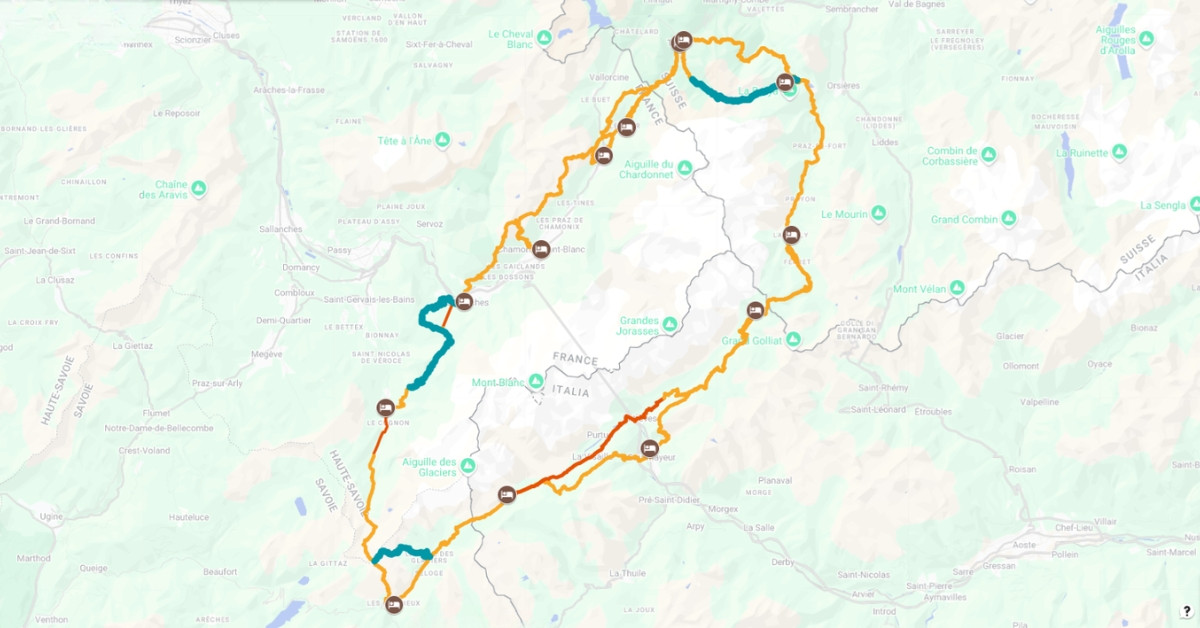
To understand the effort required, it is essential to visualize what the TMB represents. Here are some key figures:
- Total distance: approximately 170 km (105 mi).
- Countries crossed: France, Italy, Switzerland – Northern Alps sector
- Type of terrain: mid-mountain hiking with high-mountain character due to snow patches, especially in June and early July.
- Average duration: 7 to 10 days for the complete tour.
- Average daily walking time: 5 to 6 hours.
- Direction of travel: clockwise or counterclockwise, with similar overall difficulty.
In summary, the Tour du Mont Blanc requires serious preparation, but it is not reserved for experts. Hikers from beginner to intermediate levels can attempt it provided they practice endurance sports regularly throughout the year. The key to success lies in proper preparation and suitable equipment to avoid being exhausted on the first pass.
Preparation: the key to success
Good physical and equipment preparation is essential. Do not underestimate the importance of testing your gear, particularly your hiking boots. Avoid wearing a brand-new pair on the first day of your TMB!
Improving your endurance
The main challenge of the TMB is its duration. Walking for several hours daily over 7 to 10 days stresses the body. Your training goal should therefore be to improve endurance.
Start by integrating regular walks into your routine, gradually increasing their length. Doing a few long hikes (4-5 hours) before departure will help you adapt to prolonged effort and identify any weak points in your equipment.
Adapting the TMB to your pace and desires
One of the great advantages of the Tour du Mont Blanc is its flexibility. You can tailor your experience according to your level, accommodation preferences, and desired duration.
Choosing the duration of your TMB
The number of days dedicated to the TMB directly affects daily difficulty:
- 7 days: Stages are around 5 hours of walking, often on more accessible trails, sometimes with shuttle options for certain valley transfers. This is an excellent choice for a first approach. Grand Angle offers a 8-day self-guided TMB, as well as a guided version.
- 9-10 days: Stages extend to about 6 hours, with greater elevation gains (ranging from +600 to +1700m/+1970 to +5575ft). This is a slightly more challenging option but allows for deeper immersion. Discover our 12-day self-guided TMB or the 10-day guided full TMB.
Comfort along the way: accommodations
The TMB route is dotted with refuges, guesthouses, and hotels, offering various overnight options:
- Dormitory refuges: Classic and sociable option, perfect for meeting other hikers over a meal.
- Comfort: For more privacy and rest, opt for individual or double rooms in comfortable refuges, guesthouses, or small hotels.
- Camping: For full immersion in nature. Note that camping is regulated (forbidden in Switzerland, with specific conditions in Italy and France). Knowledge of rules and proper gear are required. In our offerings, we focus on accommodations in refuges, hotels, or guesthouses with luggage transfers to keep your shoulders light and enjoy the scenery.
How to make the TMB easier?
Several tips can make your Tour du Mont Blanc more accessible:
- Split the route: It is possible to complete the TMB in two parts, over two consecutive years, for example.
- Use transport: Buses and shuttles can shorten certain valley connections. Some cable cars can help overcome steep elevation gains. In our 7-day itineraries, we skip time-consuming and less interesting sections to focus on the best parts of the TMB.
- Luggage transfer: Hike light by having your main bag transported from one accommodation to the next. You then carry only a small daypack.
- Start with a shorter or easier version: If committing to 7 days seems daunting, Grand Angle offers a beginner-friendly TMB-style hike, ideal to experience the grandeur of Mont Blanc on a level 2 route accessible to motivated beginners.
Independent hiking or with an agency like Grand Angle?
One of the main questions before embarking on the Tour du Mont Blanc is whether to organize the trip entirely by yourself or use a specialized agency. Both approaches have merits and suit different types of hikers.
Independent hiking on the TMB is exhilarating and offers full freedom regarding route, pace, and dates. This is especially suitable for experienced hikers with solid navigation skills (map reading, GPS use) and the ability to manage all logistics. This includes booking accommodations (which can be complex and must be done months in advance), planning stages, managing supplies, and handling unexpected events and changing weather. For those proficient in these areas seeking a personal challenge, independence is very rewarding.
Using an agency like Grand Angle offers a different approach, focused on peace of mind and enjoyment without organizational constraints. It’s an excellent choice if:
- You want to offload the complexity of planning and reservations.
- You prefer to focus fully on walking, scenery, and experience.
- You value an optimized and tested itinerary.
- You seek the safety of professional guidance (for guided trips) or logistical support (for self-guided trips).
- You want services like luggage transport to hike with a lighter backpack.
At Grand Angle, we understand these different needs. That’s why we offer a range of trips allowing everyone to experience their ideal TMB. Whether you choose a self-guided trip with our logistical support (accommodations, detailed roadbook, optional luggage transport), or a guided trip with mountain guides sharing expertise and ensuring safety, our goal is to simplify your adventure. For beginners or those seeking a gentler introduction, our beginner-friendly TMB-style hike is perfect. For more ambitious hikers, our 12-day self-guided TMB or the 10-day guided full TMB offer a complete massif experience.
In summary, the choice depends on your experience, desire to be involved in planning, and the level of comfort and security you seek. The important thing is for your Tour du Mont Blanc to be a memorable and positive experience.
Yes, the Tour du Mont Blanc is accessible to motivated and well-prepared beginner hikers!
The key is to accurately assess your level, choose an appropriate option, and train physically. Difficulty is not an end in itself; the joy of discovering exceptional landscapes and living a memorable adventure is at the heart of the TMB experience.
Your Tour du Mont Blanc will be the one you build.
Feel free to contact us to shape together the trip that suits you in the Mont Blanc massif.
The team
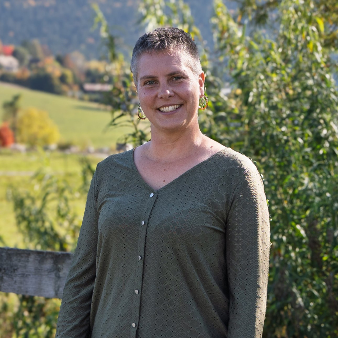
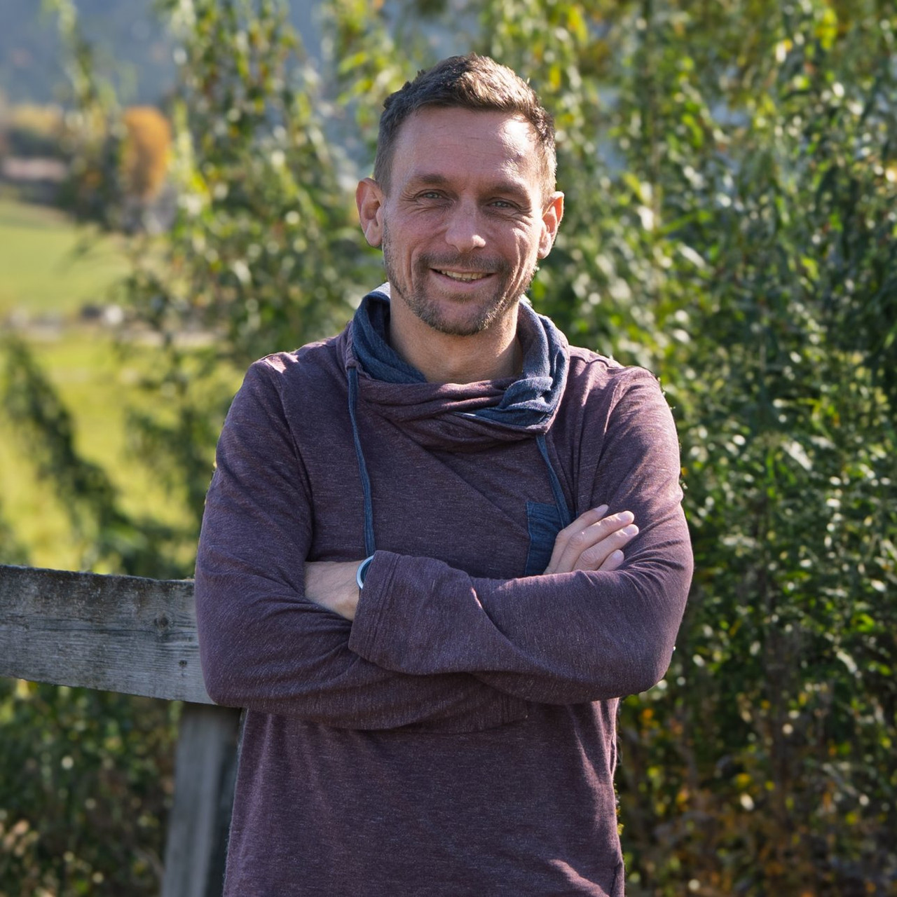
David
CEO
David brings both his energy and experience to Grand Angle. His unique background — combining a rigo... Read more
David brings both his energy and experience to Grand Angle. His unique background — combining a rigorous academic education with an intense ... Read more
David
CEO
David
David brings both his energy and experience to Grand Angle. His unique background — combining a rigorous academic education with an intense sporting career as a cross-country ski instructor and former high-level athlete — gives him a rare ability to balance a broad vision with a hands-on approach. Curious and passionate about discovery, he has traveled extensively: throughout Europe, which he knows intimately, but also across Asia, which he has continued to explore over the years. These experiences shape his way of leading: with pragmatism, openness, and a constant drive to move forward. What stands out most is his talent for connecting different horizons — practice and reflection, local and international — to create momentum that helps Grand Angle grow while staying true to its identity.
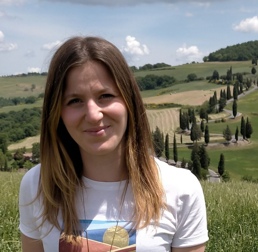
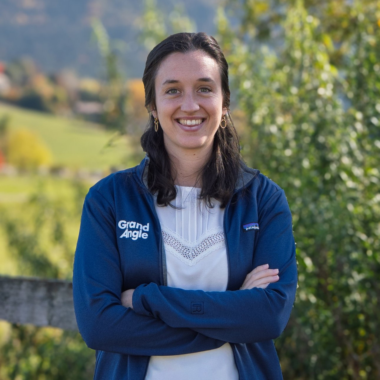
Léa
Mountain leader and graphic designer
I'm from Grenoble and I'm passionate about the great outdoors. I've been climbing summits since I wa... Read more
Léa
I'm from Grenoble and I'm passionate about the great outdoors. I've been climbing summits since I was a child, whether it's skiing, climbing, paragliding or mountaineering! If I'm not outside, I'm behind my computer, as I divide my time between working as a mountain guide and as a graphic designer.
Your testimonials
Grand Angle Tours
Your local adventure travel agency for group or self-guided tours in Europe
Founded in 1983 in the heart of the Vercors Regional Natural Park in French Alps, Grand Angle Tours is a travel agency specializing in active and adventure travel, offering hiking and trekking adventures, cycling tours, and Nordic ski or snowshoeing trips throughout France and Europe. Our close-knit team is made up of passionate explorers who intimately know our destinations, from the Alps to the Dolomites, and from Greece to Germany and Scandinavia.
At Grand Angle Tours, we believe there are as many ways to travel as there are travelers. That's why we are constantly evolving our offerings to meet your needs. This ranges from custom-designed trips created just for you to a selection of carefully chosen tours in collaboration with partner agencies that all align with our strict standards of quality and friendly service.
For personalized advice and unparalleled expertise, our team of European hiking and cycling travel experts is here to listen and guide you through every step of your next adventure, year-round!
Tour du Mont Blanc - Guided 10-Day - Women Only Travel