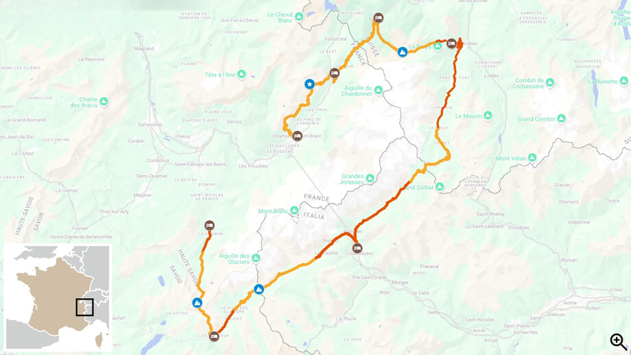
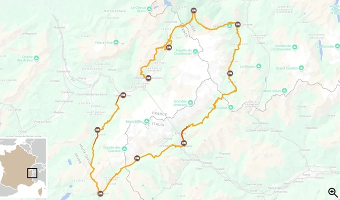
► Trip Starting Destination
This tour starts in the city of St Jean de Sixt, France
► Trip Ending Destination
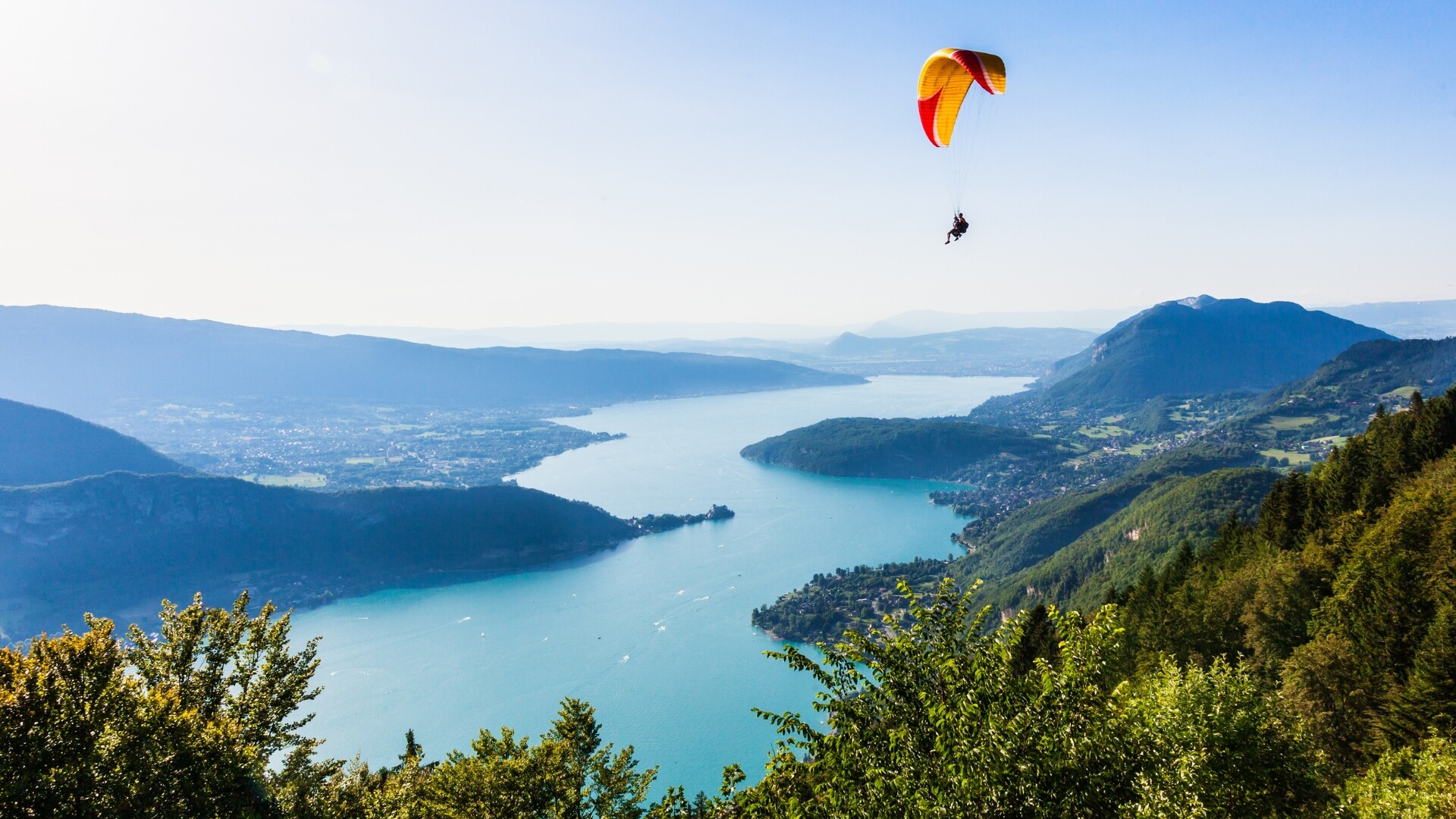
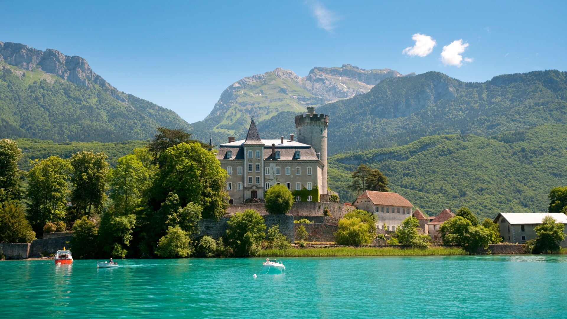
This tour ends in Annecy, France
► By Plane
Geneva Airport is the closest international airport. Home page Passengers - Genève Aéroport (gva.ch)
At the start, from Geneva to St Jean de Sixt:
In taxi from Geneva airport to St Jean de Sixt: about 300 € one way; on Sunday, bank holidays or after 6pm: about 380 € one way.
By train / bus from Geneva airport to Annecy and taxi:
Geneva Airport to Annecy (~45km/28mi):
Geneva airport to Annecy by train (takes about 1 hour).
You can check connections here: https://www.sncf-connect.com/en-ch/
Geneva airport to Annecy by bus (some buses are direct others take 1.5 to 2hours).
You can check connections here: http://www.sbb.ch/en
From Annecy train station to St Jean de Sixt in taxi: about 115 € one way
By train / bus from Geneva to St Jean de Sixt; only possible in July / August:
From Geneva airport to Annecy: train or bus (see above)
From Annecy train station to St Jean de Sixt by bus: Voyages Alpbus (French only)
At the end: from Annecy to Geneva: bus / train or taxi (see above)
► By Car
You can park your car in a parking behind the 1st hotel during the whole tour. You can pick it up by bus or taxi at the end of the trip. Please call the hotel before your arrival and leave the keys in case they need to move the car.
► By Train
Annecy Train station. +33 08 92 35 36 35, https://www.sncf-connect.com/en-ch/
Then bus with Alpbus, phone: +33 4 50 03 70 09 or https://www.voyages-alpbus.fr/ about 7 € for the journey.
From Annecy to St Jean de Sixt:
-There are buses from Monday to Sunday at 8:25, 9:25, 10:25, 13:55, 14:55, 15:25, 17:25, 17:55, 18:25 and 19:25. The journey takes about 45 minutes.
-Taxi: see “if you arrive by plane” section for details below.


Traveller’s reviews