
What is the Grand Angle App?
Your Personal Virtual Trail Guide
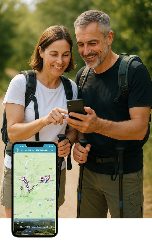
The Grand Angle App is your ultimate companion for self-guided adventures. Whether you’re hiking or cycling on a Grand Angle itinerary, the app keeps you geolocated in real time — so you always know exactly where you are on the route.
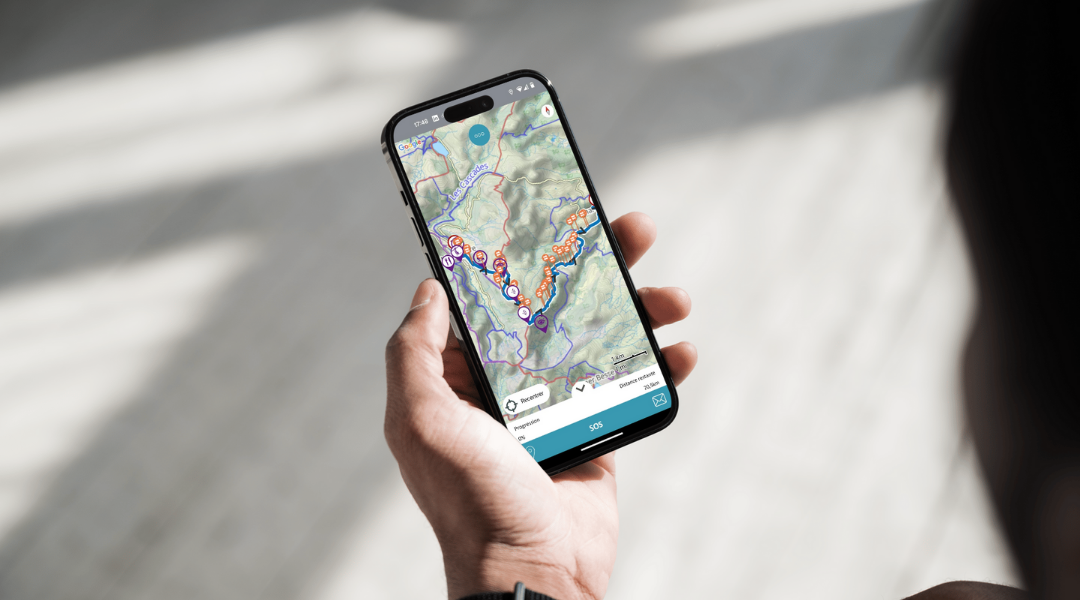
With turn-by-turn positioning and distance tracking, you’ll never lose your way. Instantly see how far you’ve come and how far you have left to go.
Our maps are crafted by professional cartographers to the highest mountain-mapping standards, ensuring accuracy and clarity at every step. Each route also includes a detailed written guide for the best possible experience.
Along the way, discover points of interest, water sources, restaurants, and local shops — everything you need for a seamless journey. Each point of interest is marked with an icon and enriched with photos and descriptions, revealing historical landmarks, monuments, works of art, and stunning viewpoints.
What are the benefits of the Grand Angle app?

📍 Real-time geolocation
Track your exact position at all times. Stay on course and always know how far you are from your destination.
🗺️ Professional mapping
Map backgrounds crafted by expert cartographers, meeting the highest standards of mountain maps.
✈️ Offline functionality
Once downloaded, everything works without a network. Turn on airplane mode and explore with peace of mind, even abroad.
🏔️ Enhanced points of interest
Discover mountain passes, nearby peaks, historical monuments, and stunning viewpoints with photos and detailed descriptions.
🍽️ Useful services
Easily locate water sources, restaurants, and small shops along your route.
📊 Detailed GPS tracking
Elevation, estimated time, distance, and a full description for each stage of your trip.
How does it work?

Download the App
Available for free on the App Store and Google Play Store. Install in just a few seconds.

Load your itinerary
Before departure, download your hiking route using a WiFi connection.

Set off with peace of mind
On the trail, the app guides you step by step, without the need for a mobile network.
Useful Tips
Battery: Charge your phone to 100% before setting off. GPS consumes a lot of power. An external battery is recommended for longer hikes and rides.
Download: Download your routes the day before using WiFi to avoid surprises and save mobile data.
Airplane mode: Activate it when traveling abroad to avoid roaming charges while keeping geolocation active.
Intuitive interface: The App is designed to be easy to use, even on the trail. Everything is accessible in just a few taps.
Trips compatible with the Grand Angle App

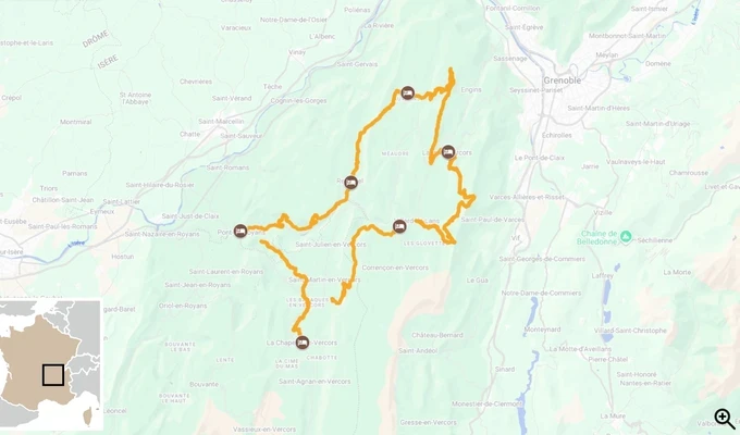
Tour of the Vercors Mountains
- Level
-
- Comfort
- Travel from
- 8 days
-
(37 reviews)

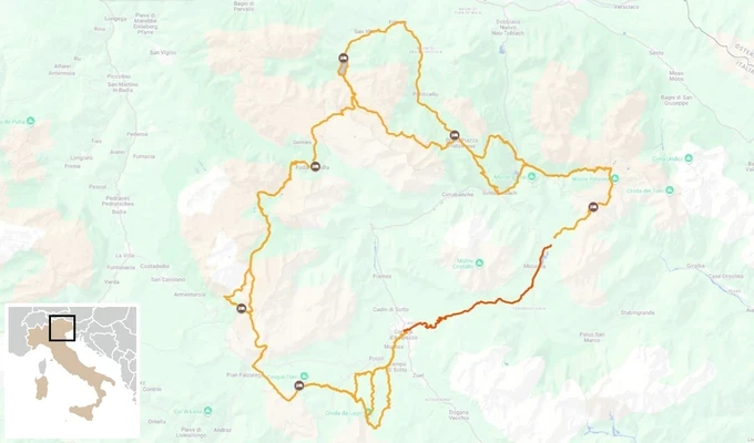
Dolomites Hut to Hut, from Lago di Braies to Tre Cime di Lavaredo
- Level
-
- Comfort
- Travel from
- 7 days
From 830,00 €

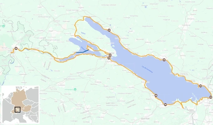
Lake Constance and Rhine Falls by Bike
- Level
-
- Comfort
- Travel from
- 8 days
From 1 000,00 €
Tour of the Vercors Mountains
- Level
-
- Comfort
- Travel from
- 8 days
-
(37 reviews)
Dolomites Hut to Hut, from Lago di Braies to Tre Cime di Lavaredo
- Level
-
- Comfort
- Travel from
- 7 days
From 830,00 €
Lake Constance and Rhine Falls by Bike
- Level
-
- Comfort
- Travel from
- 8 days
From 1 000,00 €