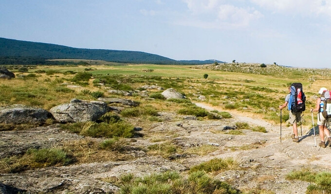
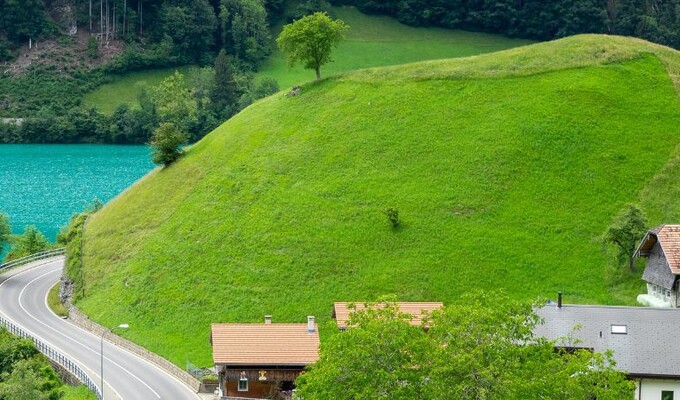
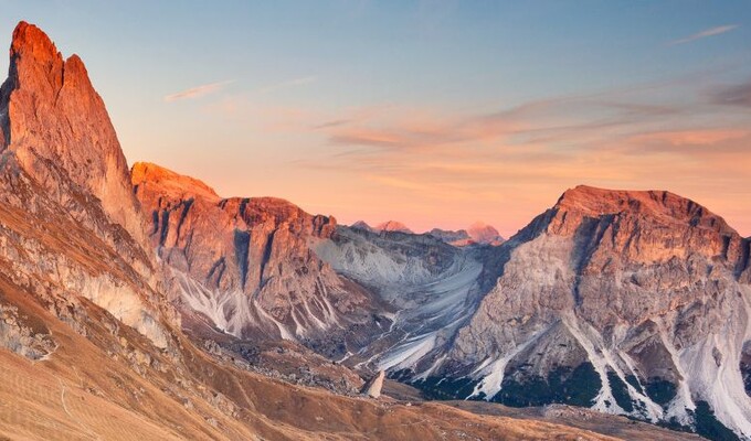
randonnée d'Arolla à Zermatt

Haute Route in Switzerland : from Arolla to Zermatt

Europe - Switzerland
CHELP1002

The highlights of this journey
Grand Angle

  1. Hiking one of the most beautiful crossings of the Alps
  2. Exploring spectacular mountain landscapes
  3. Experiencing the local culture and hospitality in the Valais Canton region
  4. Enjoying hearty Alpine cuisine after unforgettable days on the trail

Yours
experts

Estelle Torterotot

Estelle Torterotot

04 86 80 19 19

Travel experts in France, Italy and Switzerland

Quentin Vanaker

Quentin Vanaker

04 86 80 19 18

Travel experts in France, Italy and Switzerland

Useful
information

Length

8 days

From

€2,260.00

View Trip Information PDF Send this itinerary to a friend Add to my selection

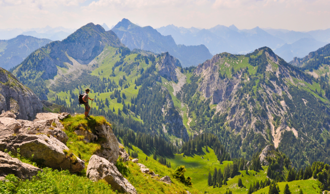
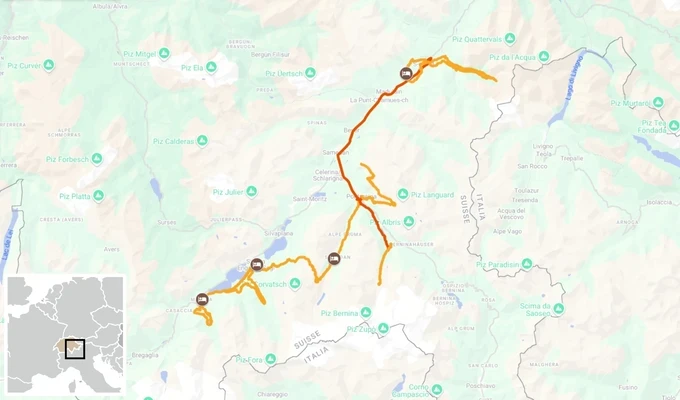
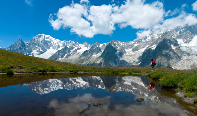
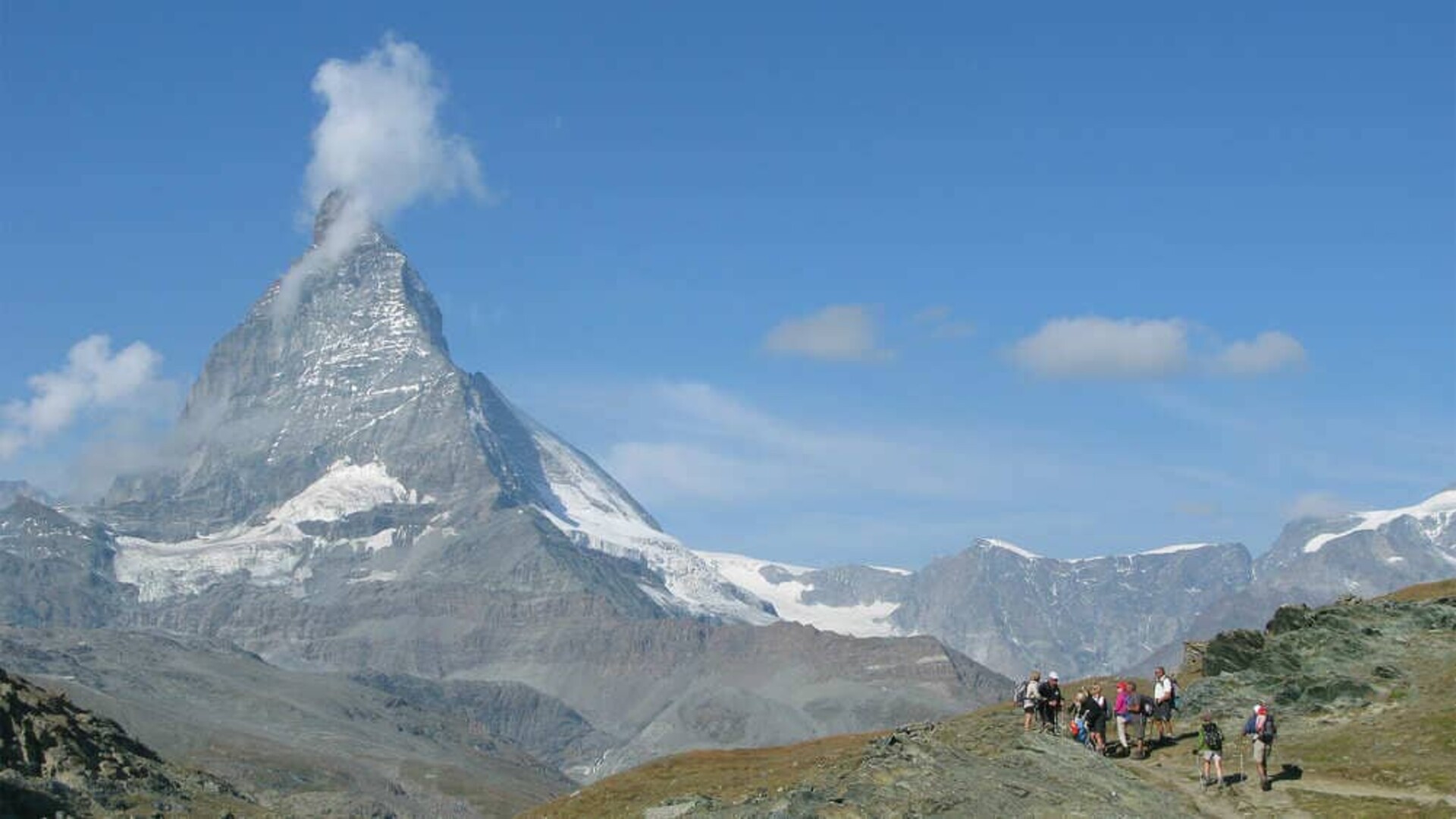
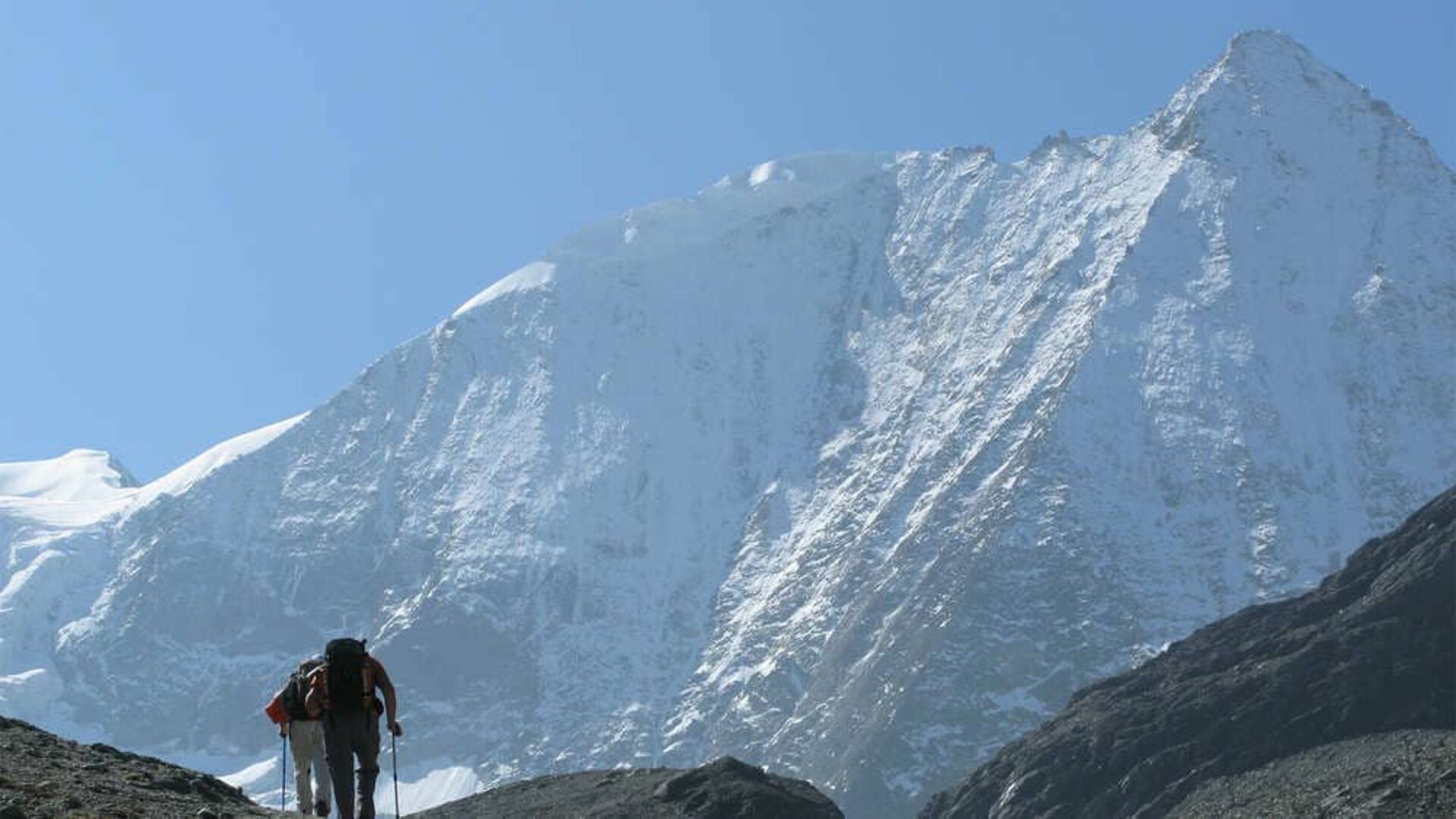
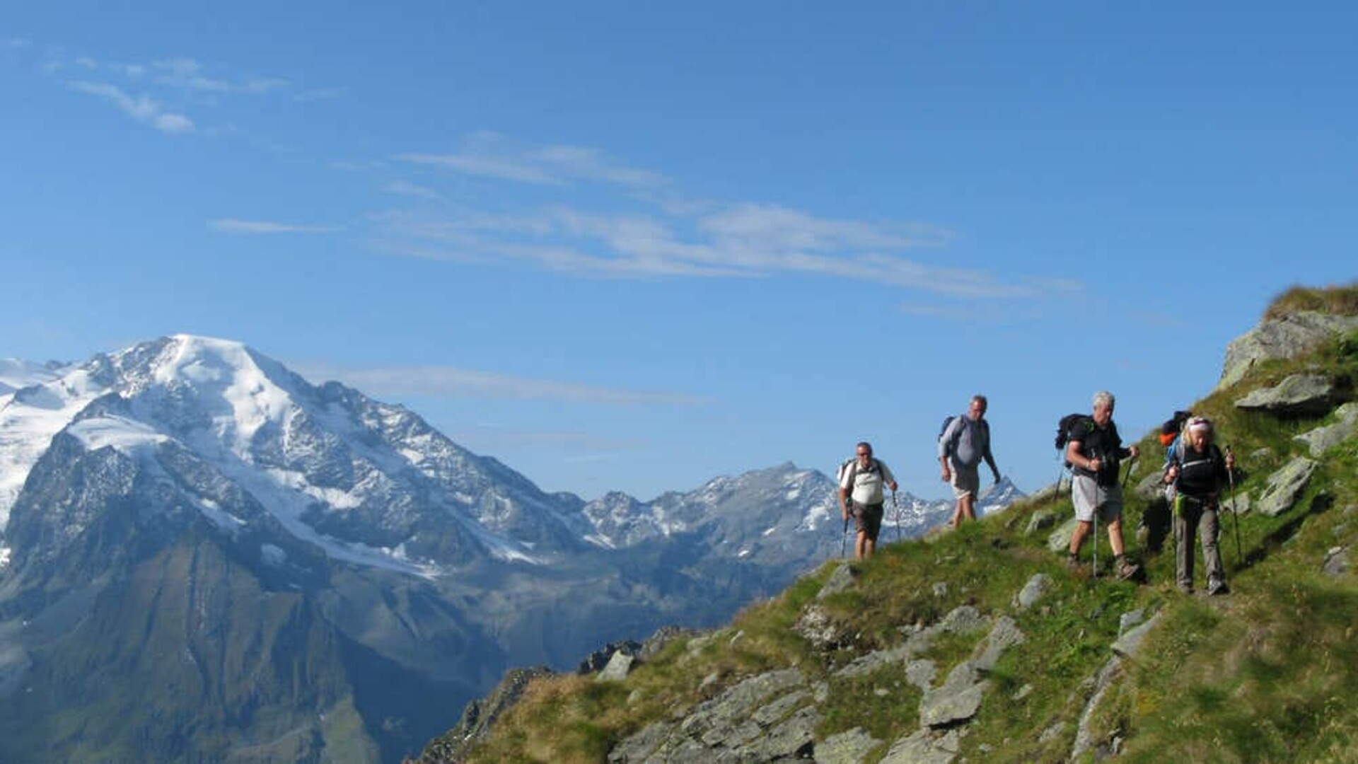
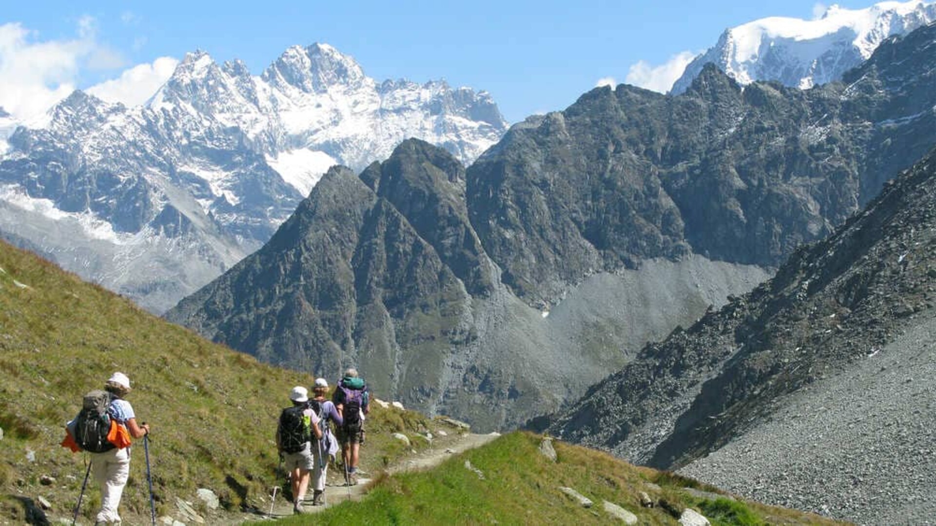
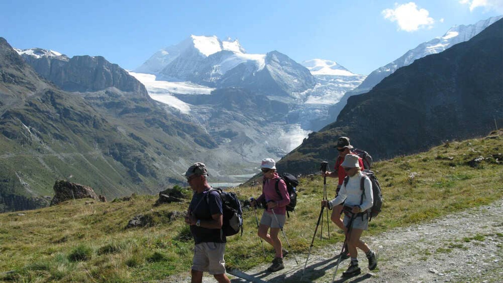
An 8-Day self-guided hike that leads you along the west section of one of the most famous treks in the Swiss Alps, the Walker's Haute Route. It means stunning views over the high mountain summits of the Valais canton region: the Pigne d’Arolla (3,796m/12,454ft), Mount Collon (3,637m/11,932ft), Dent Blanche (4357m/14,295ft), the Weisshorn (4,506m/14,783ft), the Zinalrothorn (4,221m/13,848ft), the Massif of Monte Rosa and of course the most famous, the Matterhorn/Cervin (4,478m/14,692ft).

While moderately challenging, our self-guided tour allows you to travel light, thanks to daily luggage transportation logistics. Evenings are a delight with delectable local cuisine and generous doses of Swiss hospitality in traditional alpine villages and accommodations. This world-famous hike will enable you to explore and discover one of the most beautiful crossings of the entire Alps, from Arolla to Zermatt.

Come discover one of the globe's most endeared and exciting treks!

Dates, prices, and booking

We update the next travel dates. Contact us by phone at +334 76 95 23 00 or by email to info@grandangle.fr for all inquiries.

Details

Departure possible anytime between early July and mid-September.

Please Note: the beginning of the season has a strong risk of snow and snowy conditions on the trail.

Price Per Person, in double occupancy room:

Departure Period

2 to 3 People

4 to 5 People

6+ People

From 06/07/2024 to 15/09/2024

2260 €

1915 €

1795 €

Prices include

  • Accommodation in double or triple rooms
  • Breakfasts (7)
  • Half-board - Dinners (5)
  • Luggage transfers
  • Digital travel packet
  • Smartphone travel app use during trip
  • Tourist taxes

Prices do not include

  • Travel to/from Arolla/Zermatt
  • Lunches
  • Dinners in Täsch & Zermatt
  • Drinks
  • Personal expenses
  • Printed travel packet
  • Transfers (cable car, taxi, trains, bus, etc.)
  • Entrance fees to tourist attractions
  • Travel insurance
  • Everything that is not listed in the “Included in Trip Price” section

Options, extras and discounts

  • Single room supplement: +530 €
  • Printed travel packet: 35 € / packet

► Extra Night(s)

  • Extra night in Arolla in a 2* hotel; half-board
    • 150 € / per person in a double occupancy room
    • 175 € in a single room
  • Extra night in Täsch in a 3* hotel; B&B
    • 165 € / per person in a double occupancy room
    • 235 € in a single room
  • Extra night in Zermatt in a 3* hotel; B&B
    • 140 € / per person in a double occupancy room
    • 150 € in a single room

Itinerary

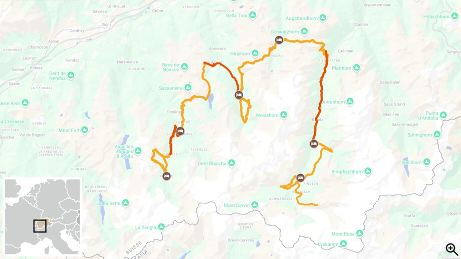
Arolla to Zermatt
D1

Arrival in Arolla

Arrival to Arolla and hotel check-in, available after ~3pm. This is the highest village in the Valais canton, at the edge of the last sparse forests of Arolla Pines and Larches. The glaciated north face of Mount Collon dominates the view South from this village sitting at the end of the Val d’Hérens.

Accommodation

2* hotel in Arolla

D2

Arolla – Hut of the “Aiguilles Rouges” (Red Needles) – Blue Lake

This is a very beautiful hike that goes up to Pra Gra, (2,479m/8,133ft); it offers a huge panoramic view and goes into a cirque with scree and passes through the moraine edges of the glacier of the “Aiguilles Rouges”. You arrive at the refuge of the same name, which is a perfect spot for a break. From here you descend to the beautiful waters of "Lac Bleu" (Blue Lake). Then, you return to Arolla by foot and on to Les Haudères by bus. Enjoy a night at a hotel in the center of the village. It is a beautiful village in a wonderful setting at the foot of the “Dent Blanche” (the White Tooth).


About 5.5 to 6 hours of walking, 13.1km/8.1mi, +/-930m/3051ft. Daypack to carry.

Accommodation

3* hotel in Les Haudères

Length

12.9km/8mi

Walking time

About 5.5 to 6 hours

Elevation +

+920m/3018ft

Elevation -

-920m/3018ft

D3

Torrent pass - Grimentz - Zinal

You will go up to the Torrent pass (2,919m/9,577ft) via Villa (1,742m/5,715ft), which is a village with a rustic hallmark. You will have an extraordinary view over the Grands Combins, Mount Fort and the Pigne d’Arolla. Next the hike goes to Lake Moiry. From here you can either take a bus or continue hiking to the beautiful traditional village of Grimentz. Hike via Bendolla, where you can use a ski lift to reach Grimentz. After visiting the village, entirely built with larches, you will take a bus to Zinal. 


About 4.5 to 5 hours of walking, 11.3km/7mi, up to +1180m/3875ft, -670m/2200ft (there can be less climbing depending on where a morning taxi drops you off, provided you pay an extra charge and plan a taxi from Les Haudères instead of the bus). Daypack to carry.


Optional Extra Hike: Moiry Lake to Bendolla (ski lift to Grimentz), about 2 hours of walking, 6.4km/3.9mi, +223m/730ft, -357m/1170ft 


Optional Extra Hike: Bendolla to Grimentz, about 1.5 to 2 hours of walking, 2.4km/1.5mi, -545m/1790ft. 


Optional Extra Hike: Moiry Lake to Grimentz, about 1.5 to 2 hours of walking, 6km/3.7mi, -665m/2180ft. 

Itinerary
Accommodation

3* hotel in Zinal

Length

11.3km/7mi

Walking time

About 4.5 to 5 hours

Elevation +

+1180m/3875ft

Elevation -

-670m/2200ft

Length

+6.3km/3.9mi

Walking time

About 1.5 to 2 hours

Elevation +

+223m/730ft

Elevation -

-357m/1170ft

Length

+2.4km/1.5mi

Walking time

About 1.5 to 2 hours

Elevation -

-545m/1790ft

D4

“Roc de la Vache” (Rock of the Cow) Lookout - Zinal

The “Roc de la Vache” (2,581m/8,468ft) lookout, south of the Zinal valley, offers breathtaking views over the Moming glacier, the Zinalrothorn (4,221m/13,848ft) and the north-east side of the “Dent Blanche”. You then return to Zinal for a 2nd night in this relaxing town. 


About 5 to 6 hours of walking, 14.7km/9.1mi, +/- 945m/3100ft. Daypack to carry.

Accommodation

3* hotel in Zinal

Length

14.7km/9.1mi

Walking time

About 5 to 6 hours

Elevation +

+945m/3100ft

Elevation -

-945m/3100ft

D5

Zinal - Grüben

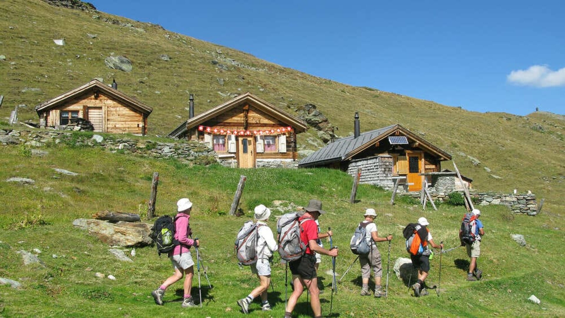
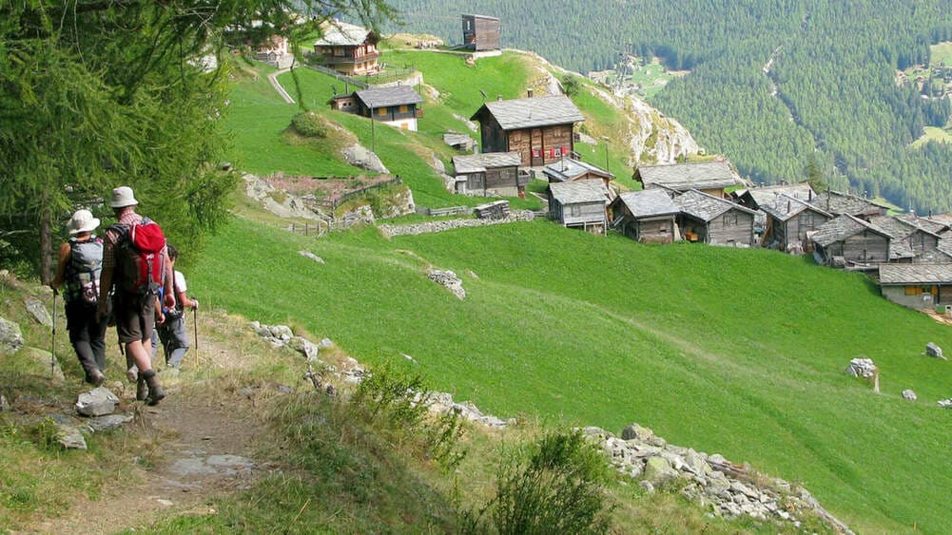
You will take a path on a balcony that overlooks the Val d'Anniviers (valley). It is a flat balcony following a contour line. Behind you, stands the towering Matterhorn and Zinal peaks. You will walk via the Forcletta pass (2,874m/9,429ft) and go down through a pastoral Alpine landscape, in the middle of meadows and forests of larches to Grüben/Meiden (1,822m/5,978ft). Do not forget to admire the marvelous chalets in this charming village and the stunning Turtmann glacier. 


About 6.5 to 7 hours of walking, 16.9km/10.5mi, +1215m/3985ft, -1056m/3465ft. Daypack to carry.

Accommodation

Private rooms in mountain lodge in Grüben (shared bathrooms)

Length

16.9km/10.5mi

Walking time

About 6.5 to 7 hours

Elevation +

+1215m/3985ft

Elevation -

-1056m/3465ft

D6

Gruben - Täsch

You will start your walk by meandering through forests of Larches and Arolla Pines. You hike through a stunning valley past a small glacial lake, before going over the Augstbord pass (2,894m/9,495ft). This creates the natural border between the Turtmanntal and the Mattertal. You can make an optional side hike to the Schwarzhorn (3,201m/10,501ft), for the unique panoramic view stretching from Mont Blanc to the Monte Rosa massif. Then, you descend to the hanging hamlet of Jungen (1,955m/6,414ft). It is a magnificent site with a Baroque chapel and the view of the Nadelhorn and Monte Rosa massif. From Jungen, you can either take a cable car or continue hiking to reach St. Niklaus (1,127m/3,697ft). Transfer by train to Täsch.


About 5 hours of walking, 13.2km/8.2mi, +1111m/3645ft, -962m/3155ft. Cable car option from Jungen to St. Niklaus. Daypack to carry. 


Optional Extra Hike: Jungen to St. Niklaus, about 1.5 to 2 hours of walking, +4.2km/2.6mi, +40m/130ft, -887m/2910ft. 

Itinerary
Accommodation

3* hotel in Täsch

Length

13.2km/8.2mi

Walking time

About 5 hours

Elevation +

+1111m/3645ft

Elevation -

-962m/3155ft

Length

+4.2km/2.6mi

Walking time

About 1.5 to 2 hours

Elevation +

+40m/130ft

Elevation -

-887m/2910ft

D7

Täsch - Zermatt

From Täschalp (2,214m/7,264ft), you will take the "Europaweg" to Zermatt. It is a fantastic balcony hike that travels in front of 4,000 meter high mountains. The views of the Matterhorn from here are truly spectacular. End your hike in the lovely village of Zermatt after an epic day on the trail.


From Täschalp (with taxi from Täsch to Täschalp): About 4 hours of walking, 9.3km/5.8mi, +300m/790ft, -870m/2645ft. Daypack to carry.


Optional Extra Hike: From Täsch to Täschalp, about 2 hours of walking, 4km/2.5mi, +747m/2450ft. Daypack to carry.


*Today has multiple back-up hike options in case of bad weather and/or trail closures.

Itinerary
Accommodation

3* hotel in Zermatt

Length

9.3km/5.8mi

Walking time

About 4 hours

Elevation +

+300m/790ft

Elevation -

-870m/2645ft

Length

+4km/2.5mi

Walking time

About 2 hours

Elevation +

+747m/2450ft

D8

Zermatt - End of Trip

Departure after breakfast and hotel check-out (~10am). You have the option to plan additional nights in Zermatt and we can provide information for additional hikes/activities that are possible from Zermatt.

Occasionally, adjustments to the planned itinerary may be necessary. This could stem from trip logistics (such as fully booked accommodations, trail closures, or adverse weather conditions, etc.). It's important to understand that these modifications are always implemented with your best interests in mind, prioritizing your safety and comfort.

Technical description

Level

Difficulty level 4/5, moderate to difficult hiking. About 3 to 7 hours of hiking per day in rocky mountainous terrain, up to 16.9km/10.5mi in distance daily. Expect +300 to 1,200m/985 to 3,937ft of daily ascents. Highest elevation reached on this trip is 2,918m/9,574ft.

Luggage transportation

You only need to carry a small backpack during hikes with the necessary items for the day. Your luggage will be transported by vehicle to next accommodations. Your luggage will arrive in the early evening each day.

Limited to 1 bag transported per person and a maximum weight of up to 15kg/33lbs per bag.

Group

Possible for groups of 2 and above. Solo hikers are not allowed on this trip due to safety concerns.

Departure period

Departures are possible anytime between early July and mid-September.

*Please be advised that the beginning of the season has a strong risk of snow and snowy conditions on the trail.

Duration

8 days / 7 nights / 6 days of hiking

Start / End

► Start
On day 1 in the afternoon at hotel check-in (~3pm) in Arolla. 

► Finish
On day 8 in Zermatt upon hotel check-out (~10am) in Zermatt.

Travel folder

Self-guided tour, without a human guide. A digital travel packet (documents available in English, French & German) will be sent by email that includes access to our smartphone travel application for navigating hikes and accessing local maps (available in English only), the list of booked accommodations, any included travel vouchers and all the detailed information needed for a successful trip. If desired, we can provide a printed version of the travel packet for an additional fee. It will be waiting and available at the 1st accommodation of the itinerary with maps, topo guide and travel folder. This must be requested at the time of booking. There is no welcome meeting at the arrival hotel or general orientation meeting for this tour.

Accommodation / Catering

► Accommodation
7 nights in private double occupancy rooms.  From mountain lodges to 3* hotels, 1 night in a simple mountain lodge hotel with no en-suite bathroom option (Grüben). All other nights have en-suite bathrooms.

► Meals
Dinners and Breakfasts: Included and served at hotels (except dinners in Tasch & Zermatt). These nights there are multiple restaurant options to choose from in town near accommodations.
Lunches: It is always possible to ask for picnic lunches at the hotels, but you will also find grocery stores in all the villages to plan your own lunches. (Except in Grüben).

*Please let us know when you register if you are allergic to anything or if you have a special diet; we will do our best to have hotels adapt your meals.

Extend your stay

It is possible to add extra nights before, during or after your tour in Arolla, Täsch or Zermatt. Please contact our sales team for availability and rates.

Access

► Trip Starting Destination
This tour starts in Arolla, Switzerland

► Trip Ending Destination
This tour ends in Zermatt, Switzerland

► By Plane
The nearest airport to Arolla is Sion (SIR) Airport which is 75km/24mi away, but this airport has very limited flight options. There are better nearby larger international airports to use including Geneva (GVA), Zurich (ZRH) and Milan Malpensa (MXP). From any of these options a train can be planned to get to Sion (then bus to Arolla) or Zermatt. There may be private taxi options, but the costs will be high for this option from any of the international airports to Arolla/Zermatt.

► By Train/Bus
From Zermatt, a great number of trains travel to Sion and/or other destinations (international airport cities). Zermatt is easily reached by train from many regional destinations.

From the Sion main railway station, you then take a taxi or bus to Arolla passing through Les Haudères. From Sion to Arolla thereare PostBus options (39km/24mi) at multiple times daily.

Pendolino or Eurocity Train  (Milan - Sion - Geneva)

Website to see Train schedules:
The SBB online portal for timetable, trains and public transport

Website to see bus schedules: 
Timetable and ticket purchases (postauto.ch)

► By Car
The common arrival route is driving from Sion – Evolène – les Haudères – Arolla. 

Parking - You can park your car at the first hotel, with advanced notice.

Photos

You take beautiful pictures! Don't hesitate to send us a CD, a USB stick, a Dropbox or WeTransfer link  of your best photos taken during your trip. The fact that you send us photos implies that you accept that your photos will be used free of charge on our various media outlets (social media, catalog, website, trip information documents, etc.).

Travel story

Would you like to share your best moments of the trip and share your experience with the greater Grand Angle hiking community? Send us your story and some photos illustrating your words that we can consider publishing on our blog.

Responsible tourism

► Acting for Responsible Tourism - ATR label
Grand Angle is an active member of the ATR association "Agir pour un Tourisme Responsable", whose compliance with the label has been certified by Ecocert Environnement.

The common values of the label, shared by all its members, are represented by: transparency (between the customer and the travel agency), partnership (between local service providers and the travel agency) and consistency (synonymous with good communication within the travel agency team).

Being a member of ATR commits us to:
•    Promoting quality tourism
•    Respect for the environment, heritage and local people
•    Educating travelers about local customs
•    Inform travellers in full transparency about their travel conditions

For more information on the ATR association: www.tourisme-responsable.org 

► The European Charter for Sustainable Tourism in Protected Areas 
In 2014, Grand Angle was one of the first tour operators to be certified under the European Charter for Sustainable Tourism, created and developed by Europarc, the Federation of European Protected Areas, which includes Regional Natural Parks, National Parks and Nature Reserves. 

The purpose of the European Charter is to develop quality, sustainable and responsible tourism in protected areas, with respect for people and their environment. Being certified under the CETD is a recognition of our commitment to sustainable tourism and development rooted in the territories, economically, socially and environmentally. 

The certification is a proof of the confidence that the Parks have in our company and its approach.
Grand Angle's partner in this certification is the Vercors Regional Natural Park, our homeland: http://parc-du-vercors.fr   

Find out more about the European Charter for Sustainable Tourism: http://www.europarc.org/sustainable-tourism/

Gear

It is the client’s responsibility to arrive prepared with the items listed below to help insure a safe and enjoyable trip. 

CLOTHING CHECKLIST:

The following items are required for this trip unless otherwise noted. When packing, think layered clothing systems that work together and can be easily added or removed.

  • Hiking Boots/Shoes – waterproof, sturdy molded sole, deep tread and ideally well broken in (Note: buy boots/shoes 1/2 size to 1 size larger than street shoes to allow for feet swelling and thicker socks)
  • Hiking Socks – one pair for every day or two days of the trip. Hiking/Sport specific padded socks, no cotton please!
  • Sun Hat – wide brimmed hat or baseball cap/bandana combo
  • Warm Hat & Gloves – lightweight beanie and light-to-mid weight fleece or wool gloves
  • Hiking Shirts – non-cotton, breathable short sleeve and/or long sleeve shirts (Note: long sleeve shirts provide better sun protection)
  • Warm Top – mid-weight sweater or pullover of wicking material such as merino wool, fleece or polypropylene
  • Insulating Jacket – down-fill or synthetic-fill insulated “puffy” jacket or warm, heavy weight fleece jacket
  • Hiking Pants & Shorts – nylon pants AND shorts, zip-offs or leggings
  • Base Layer/Long Underwear – 1 pair of wicking tops and bottoms that are lightweight to midweight, synthetic wicking materials such as polyester, polypropylene, merino wool, etc.
  • Rain Gear – waterproof jacket and pants or high-quality poncho, breathable fabric such as Gore-Tex® or coated nylon. For the pants look for side zippers that will easily allow pulling them over footwear.
  • Casual Clothing & Footwear – comfortable clothes and shoes to wear in the evening after activities.

Important Note: Please, no cotton hiking/cycling clothes. Synthetic clothing is very efficient in drying quickly. Merino wool material clothing is also efficient in drying quickly, is comfortable to wear and has the advantage of not developing a bad odor after use.

GEAR CHECKLIST:
  • Backpack – a 30-45 Liter sized comfortable pack with a waterproof cover for use day-to-day while hiking.
  • Personal Luggage – small duffel bag, rolling suitcase or backpack – for extra hiking clothes and casual clothes. *Luggage transfers have a limit of 33lbs/15kg on this trip and extra items are not easily stored by our team.
  • Hydration System – 2+ liters capacity, either water bottles or bladder/hose system and an additional water bottle
  • Trekking Poles – telescopic/adjustable poles to help reduce the impact on joints and support hikers in steep and/or rocky terrain. (Note: strongly recommended)
  • Headlamp – preferably with an L.E.D. bulb that works with AA or AAA batteries (Note: always test headlamp before trips and travel/pack without batteries in device)
  • Picnic/Lunch Kit – knife, plate or bowl, box with closeable lid, utensils, etc.
  • Phone & Charger – local sim card or international plan may be needed. Consider bringing a small power bank to use to recharge devices during trip activities.
  • Waterproof Travel Case or Pouch – used to keep important documents (i.e. passport, health/travel insurance, etc.) & phone safe from weather/water
  • Sunglasses, Sunscreen, & Lip Balm
  • First Aid Kit – see first aid kit suggestions below*
  • Personal Toilet Paper Kit – most public restrooms outside of lodging will have toilet paper available, but it is good to be prepared with a personal toilet paper kit to potentially use during portions of this tour.
  • Toiletries
  • Contact Lenses & Glasses – if wearing contact lenses, please also bring back-up pair of glasses and contacts.
  • Prescription Medication – with emergency back-up supply.
  • Money – It is good to have some local currency, often smaller local businesses do not accept credit cards and/or prefer cash. Some public restrooms require small amounts of cash to use.
OPTIONAL ITEMS:
  • Face Masks; Over-the-counter Rapid Antigen COVID-19 Tests (Note: recommended but optional)
  • Travel Power Adapter – Electric power voltage in Switzerland is 230 V / 50 Hz and the plugs are C & J type
  • Support Braces – consider bringing any joint braces that may be currently needed or from past injuries (i.e. knee, ankle, elbow, etc.)
  • Sleep Mask & Ear Plugs
  • Bug Repellent
  • Quick Drying Towel or Bandana(s)
  • Swimsuit
*FIRST AID KIT SUGGESTIONS:

After years of experience planning adventure travel around the world, we've learned that anything can happen, and every traveler should carry a basic personal first aid kit. We want to ensure our guests are well-prepared and make smart informed travel decisions. In many of the places we operate trips, it may be challenging to find certain medications and/or first aid supplies, and sometimes common items you desire may not be available in the destination you are travelling. That's why it's good to be prepared and carry a small supply of first aid supplies, any prescription medication, and/or over-the-counter medications you may require during your travels.

We recommend discussing your travel plans, vaccination requirements, and any medication usage with your primary healthcare provider before embarking on our trips. This helps ensure you have a safe and enjoyable travel experience.

Here is a basic list of what we think makes a good personal travel first aid kit:

  • Medications – Brands of your choice, all medications should be either prescribed directly by your doctor or discussed with a doctor prior to use.
  • Electrolyte Replacement/Drink Mix – brand of choice
  • Creams – Antibiotic ointment, Anti-Itch: Hydrocortisone, Arnica
  • Eye Problems: Dry/Itchy – Eye drops
  • Feminine Hygiene – Tampons
  • Wound Care – a various pack of bandages, antiseptic swabs
  • Blister Care – blister kit made up of items of your choice
  • Sun Protection – sunscreen, SPF lip balm
  • Various Items – Athletic tape/”KT Tape”, Nail clippers, Tweezers, Small bottle of hand sanitizer, Sewing kit (clothing/button repairs), Disposable surgical gloves (1-2 pairs)

Luggage

PACKING FOR TRAVEL:
It is recommended that you prepare your items in the following manner for your travels to this trip. 

“Carry-on Bag(s)” - This is the bag you will bring with you on the plane. We recommend all your pertinent information be in this bag (passport, travel documents, etc.) as well as your most important gear items (hiking footwear, jacket, prescription medication, etc.) in case any checked luggage items becomes lost or delayed. 

“Checked Bag(s)” - This bag will be checked and contain the rest of your personal items (clothing and gear, etc.).

Important Note: Again, it is recommended to either wear or pack in your “Carry-on Bag” the main gear items you need for this trip vs. putting them in your checked “Travel Bag” (in case luggage is delayed). Hiking footwear is probably the hardest item to replace last minute if items become lost or delayed past the intended start date of the trip. Lost or delayed luggage has become more and more common in major airports for international travel since the global pandemic.

LUGGAGE MANAGEMENT DURING TRIP: 
During this trip, the packing system needs to be in 2 bags.

Extra Luggage - “Checked Bag(s)” & ”Carry-on Bag(s)”: This bag will contain all the items you want to bring along on the trip. It will be transferred by vehicle/taxi, and you will have access to it at the end of each day of activity, but not throughout the day. Extra luggage is not allowed or easily stored on this trip beyond the 1 bag per person requirement. Maximum 15kg/33lbs per bag per person.

Day Backpack (not provided): All guests will need a backpack, which they will be responsible for carrying during hikes. Items in this bag should include anything you may need throughout the day during the trip. (i.e. rain gear, warm layers, water, sunscreen/lip balm, snacks/food, camera/phone, etc.). 
Country

Switzerland, the Swiss Confederation, capital city: Bern.

Formalities

► Documents
Travellers from the European Union, including children, need a valid identity card or passport. Check with the authorities in your home country for the conditions of entering this destination.

► Health/Insurance
Do not forget your card and/or policy details for your health insurance and/or travel insurance. 

Phone

When calling Switzerland from another country: +41

European Emergency Number: 112

Useful addresses

Swiss National tourist information office in Zurich  
Website: Switzerland Travel & Vacation | Switzerland Tourism (myswitzerland.com)

Valais Tourism Office
Website: Holidays, Leisure, Gastronomy, Live & Work | Valais Switzerland

Evolène Region Tourism (regional tourist information office)
Phone: +41 27 283 40 00  
Website: Welcome to Evolène Region | Evolène Région (evolene-region.ch)

Zermatt Tourism Office
Website: Zermatt: Holidays in Switzerland & the Alps

Time difference

Central European Time (CET/UTC+1) and Central European Summer Time (CEST/UTC+2) during daylight saving time.

Language

In the Valais canton, French and German are spoken. Usually some English is spoken in all tourist areas.

Currencies

The Swiss Franc (CHF) is used in all of Switzerland. 

Change: possible in all railway stations, post offices or banks.

Cartography

Evolene – 1:25,000, Vissoie – 1:25,000, Val d’Hérens - 1:25,000, Val d’Anniviers - 1:25,000, St Niklaus - 1:25,000, Zermatt / Gornergrat - 1:25,000

Voyage responsable

Traveller’s reviews

This circuit does not exactly match your expectations?

Create a customized trip

We also advise you

Annecy Lake - Aravis - Alpes © Kevin Bessat-unsplash
Chamonix to Lake Annecy
Self-guided hike

Chamonix to Lake Annecy

France - Mont-Blanc - FRALP1125
Level
Comfort
Travel from
10 days

From €1,960.00