... or TMB
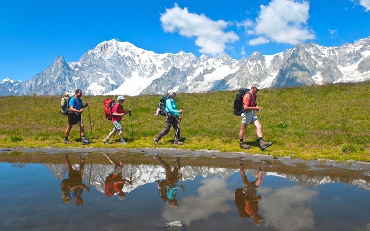
Three letters in the shape of a label for a rollercoaster trek that brings together a global community of hikers who, although they may not set out to conquer the roof of Europe, have a secret desire to caress its flanks. The Tour du Mont Blanc is undoubtedly one of the most popular treks on the planet, along with the Inca Trail in Peru, the Rocky Mountain or Grand Canyon treks in the USA, the Kilimanjaro ascent and Himalayan treks.
Without being insurmountably difficult, it can prove trying for those who are insufficiently prepared. For the others, there is the promise of an exceptional discovery of a massif, with spectacular views of its collection of mythical summits and the glaciers that embrace them.
Three possible itineraries with Grand Angle
The full 12-day itinerary on a self-guided tour or a 10-day itinerary on a guided tour, or the classic eight-day itinerary, with a few transfers.
The pattern for most of the stages is simple: climb up to a pass in the morning and descend in the afternoon to your accommodation, either a hotel or a mountain refuge.
A detailed review of the passes on the Tour du Mont Blanc
For those who prefer the full tour, the first two days offer some of the best views of the massif and its king of peaks.
The Aiguilles Rouges balcony
The Aiguilles Rouges balcony couldn't be better placed to give you the full measure of the king of the Alps and his impressive festoon of peaks.

Col de Balme
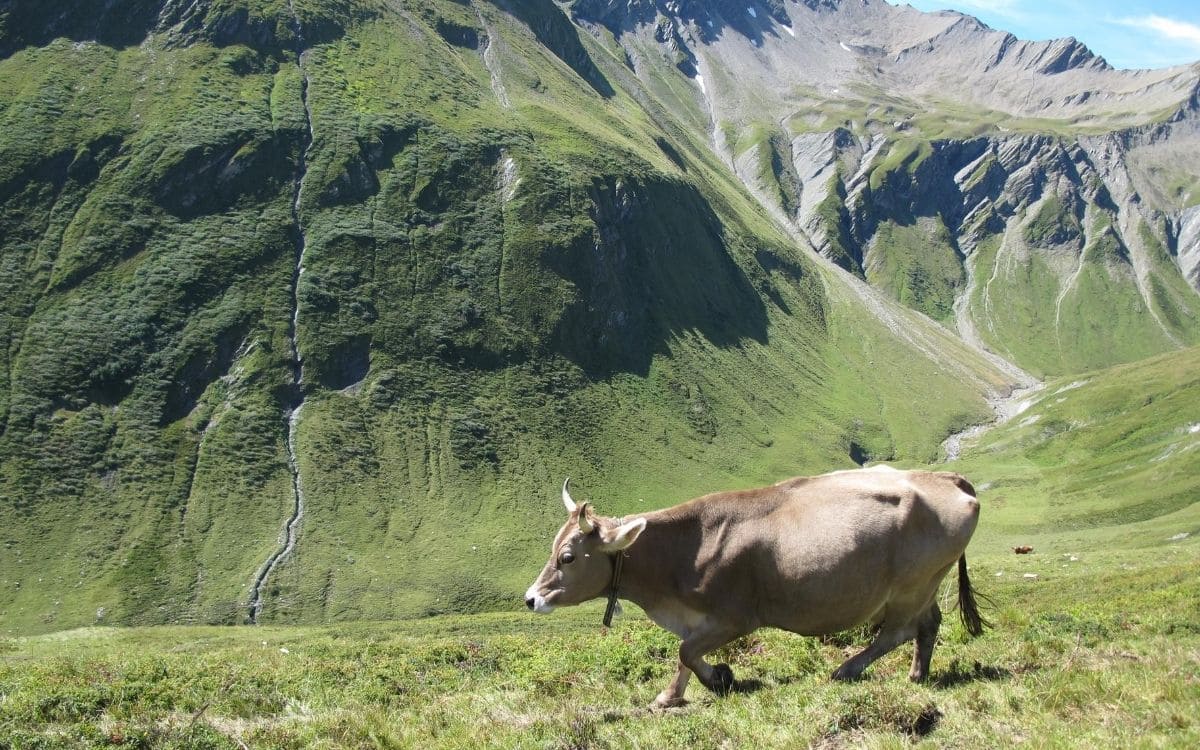
Hikers on the classic tour will climb back up to the Col de Balme (2200m/7220ft), where they may come across a few Herens cows. This ancient and traditional breed in the Valais is famous for the ‘fight of the queens’ between the dominant females on the way up to the mountain pastures. But there's no fight to be feared on our own way back up from the mountain pasture!

These imposing dark-coloured cows watch us nonchalantly as we make our way down to Trient, nestled in a remote Swiss valley at the foot of the glacier of the same name.
The Arpette window
Next up is the summit of the tour: from dawn, the climb to the fenêtre d'Arpette (2664m/8740ft) imposes its ruggedness and splendour in a world that becomes increasingly rocky as the ascent progresses.

Although the Trient glacier's tongue has been severely affected by global warming in recent years, it is not lacking in power, resting on a vast plateau crowned by peaks topping 3400m/11,155ft.
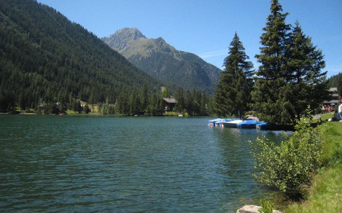
After an acrobatic descent through scree and large boulders, we return to the calm of the Arpette mountain pastures, just an hour's walk from the surprising Champex lake and its small-town atmosphere.

Perched on a plateau, the lake is hard to miss from Orsières, at the mouth of the Val Ferret, five hundred metres below.
The great Ferret pass
The next pass is at the end of this beautiful fifteen-kilometre-long protected valley. At an altitude of 2539m/8330ft, the Grand Col Ferret is the link between the Swiss Val Ferret and the Italian Val Ferret. After all, the two neighbouring valleys are known by the same name. A rather gentle pass, albeit with some very steep slopes, it stands in stark contrast to the ‘caillasse’ of the fenêtre d'Arpette. As you make your way up the immense pastures, you come across as many cows as hikers.
Mythical peaks
As soon as we passed the pass, we came face to face with some of the legendary peaks of the Mont Blanc massif: Mont Dolent (3810m/12,500ft), Aiguille de Triolet (3870m/12,695ft), then the Grand Jorasses (4208m/13,805ft) and Aiguille du Géant (4013m/13,165ft), which will provide a luxurious backdrop for the next day's balcony stage.

The Col de la Seigne
In the same pastoral spirit, the Col de la Seigne (2516m/8255ft) takes us from Italy to France. But first we have to climb up to the foot of the colossal stone tongue of the Miage glacier, which has descended from peaks over four thousand metres high. Easily accessible - and therefore very popular - Lac du Miage is a marvellous escape route, which is - alas! - from the marshy Lac Combal.
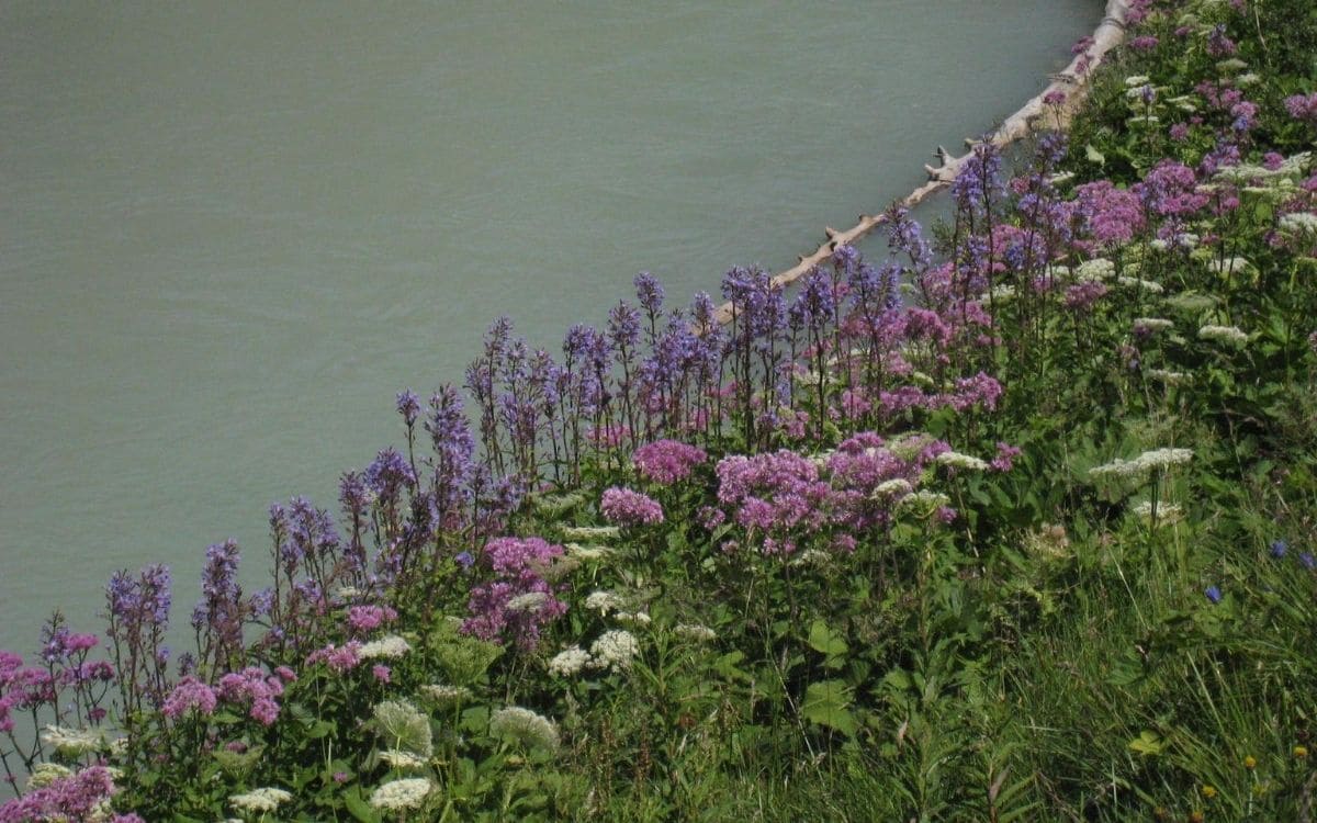
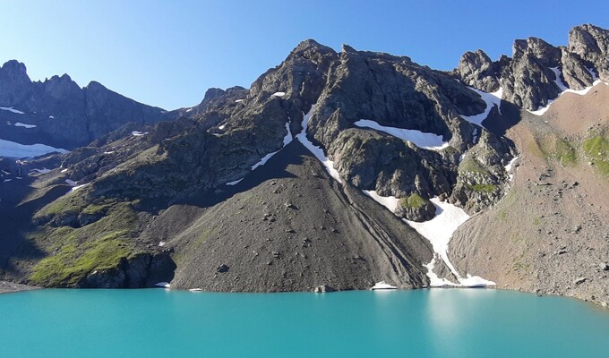
Located at the heart of the stony glacier, it reveals its milky green waters to photographers, against a backdrop of some of the highest peaks in the massif. Access to the Col de la Seigne is easy as you climb up to the foot of the limestone pyramids before a leisurely descent into the Beaufortain pastures.
The Aiguille des Glaciers
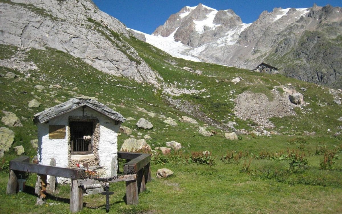
Every day has its holy mountain: so, back in France, it's under the imposing patronage of the Aiguille des Glaciers (3816m/12,520ft) that our walk takes place. First, on the descent to the mountain pasture hamlet of La Ville des Glaciers, where Beaufort and Sérac cheeses are still traditionally made from the milk of Tarine and Abondance cows.

The Col des Fours
The Aiguille des Glaciers still looms large on the ascent to the highest pass on the Tour du Mont Blanc, the Col des Fours (2665m/8745ft). A return trip to the easy tête nord des Fours (2756m/9040ft) adds another summit to our adventure, like the icing on the cake.

The Col de la Croix du Bonhomme and the Col du Bonhomme
The Col de la Croix du Bonhomme (2483m/8145ft) is just over the top as we descend from the Col des Fours. At an altitude of 2329m/7640ft, the Col du Bonhomme takes us down into the Contamines-Montjoie valley, where other peaks await us, as does the final pass of your tour, the Col de Tricot (2120m/6955ft).

The Col de Tricot
Overlooking the Miage chalets, this offers spectacular views of the Aiguille de Bionassay (4052m/13,295ft) and the Dômes de Miage (3672m/12,050ft). The rest of the descent to Les Houches takes us back to the companionship of the Aiguille and the Dôme du Goûter (4304m/14,120ft) under the imperial figure of Mont Blanc (altitude: 4808.72m/15,776.64ft according to the latest measurement campaign in 2017).

Fancy rubbing shoulders with the summits and getting close to the roof of Europe? Don't wait any longer and discover all our hikes in the Mont-Blanc massif.
And for other ideas for intense hikes, check out the 5 most difficult hikes in Europe (suscrire to our travel newsletter to get future blog's post) or other hikes in the sumptuous Italian mountains here.
Text credit © François Ribard, Grand Angle guide
Share the article on
Written on 21/08/2020 by:
François Ribard

